
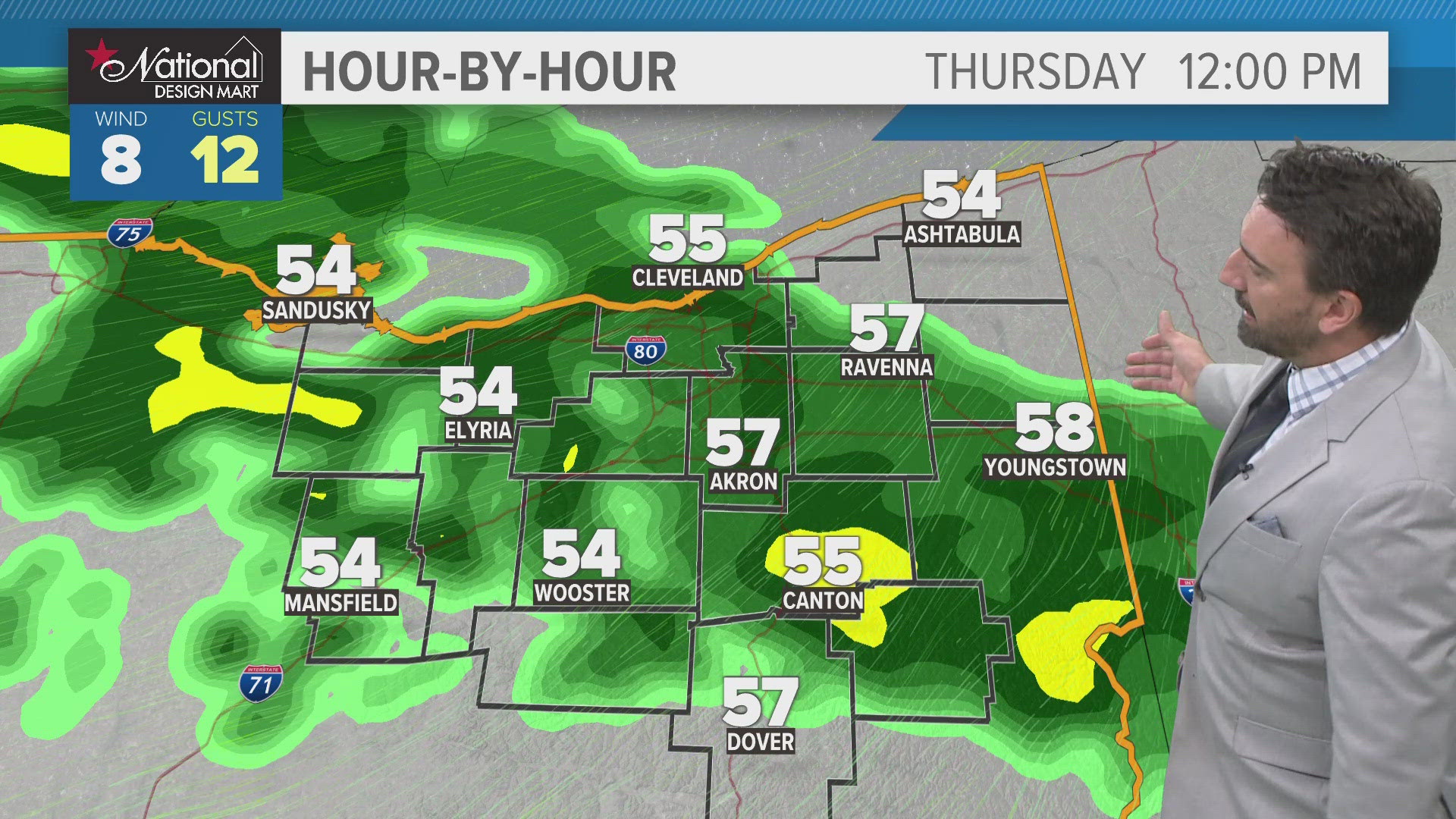
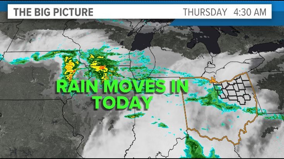
CLEVELAND — A return to a cooler, rainy pattern begins today as several waves of low pressure will bring showers through northern Ohio through next week. It's a good napping day today with temps holding in the upper 50s to near 60. Rain will be on-and-off, but it will remain rather persistent today on radar.

Lingering showers are possible tonight with chilly lows in the mid to upper 40s.
Expect sunshine to break out on Friday, but we'll have some lingering moisture that could kick off an isolated shower or two, especially early in the day. Highs Friday will remain in the upper 50s to near 60.
As we look ahead to the weekend, we'll watch another wave of low pressure sink south through the Great Lakes on Saturday. This will bring another round of rain through northern Ohio with cool temps in the upper 50s.
Mother's Day itself looks drier with some sunshine and an isolated shower chance. Highs look to rebound into the mid 60s for all of our area moms!
THE 3 DAY FORECAST
TODAY: On-and-off rain moves in. Steady temps in the upper 50s.
FRIDAY: Some sunshine with a few leftover showers. Upper 50s.
SATURDAY: Rain moves back in. Upper 50s.
Here are some quick weather resources you can use:
---------------------------------------------------------------------------------------------------
Get more weather from the 3News Weather team of Betsy Kling (@betsykling), Matt Wintz (@WintzWeather), Anthony Copeland (@WeatherManAC) and Hollie Strano (@holliesmiles)
►MORE WEATHER | Get the latest weather headlines, video, photos & more
►ENVIRONMENT NEWS | Find out more about the world around us
►EARTH & SPACE NEWS | Learn more about our planet and outer space
►WEATHER FEATURES | Read our weather guides, storm reports & more
MORE WEATHER-RELATED HEADLINES: