
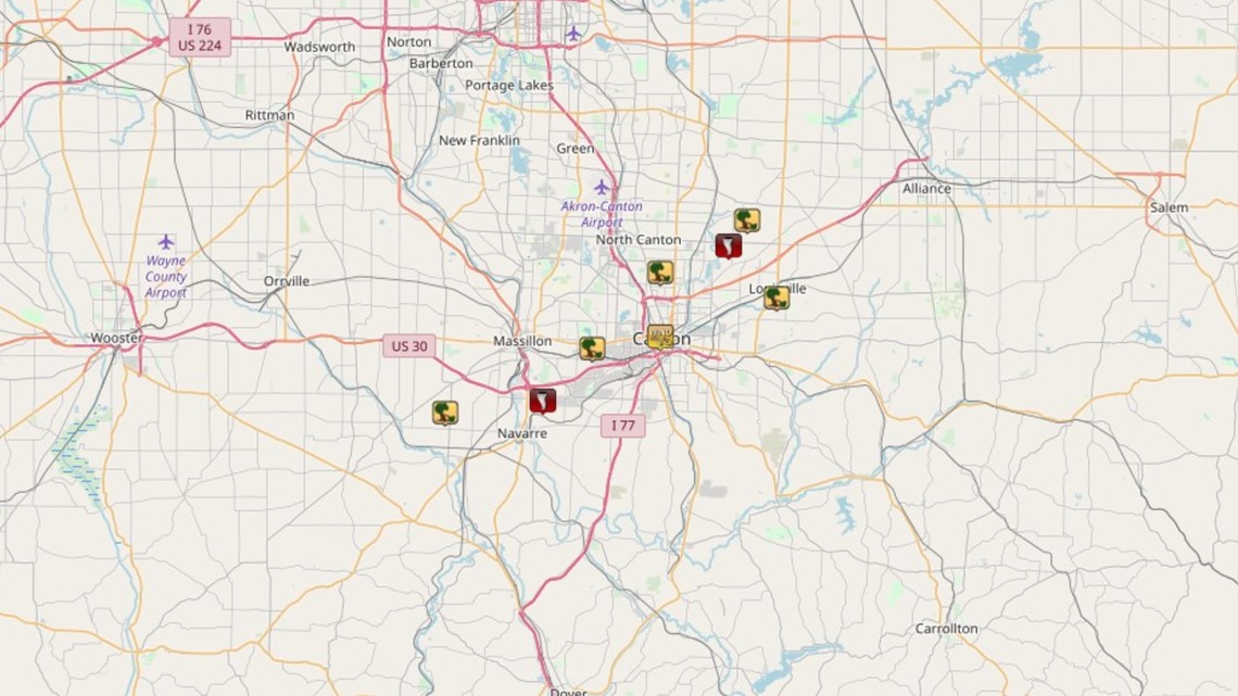
The National Weather Service says the first tornado began in the village of Navarre just west of Canton in Stark County around 8:15 p.m. and made its way northeast before ending in Perry Township roughly five minutes later. The twister appeared to be about 25-50 yards wide with a maximum winds of 80 miles per hour.
The second tornado occurred a few minutes later at 8:23 p.m. just northwest of Louisville and was also rated an EF-0 storm with winds up to 80 miles per hour. A silo and barn roof suffered damage on Bentler Avenue with considerable tree damage along Easton Street and Pilot Knob Avenue. Additional damage was done to a gazebo, the foundation of a garage and another metal roof. Several homes in that area had minor structural damage including missing shingles and siding.
An EF-0 is the lowest rated tornado as far as wind speed. The NWS says most of the damage for this category of storm would mainly involve broken and uprooted trees, but there can also be some minor structural damage to buildings and homes.
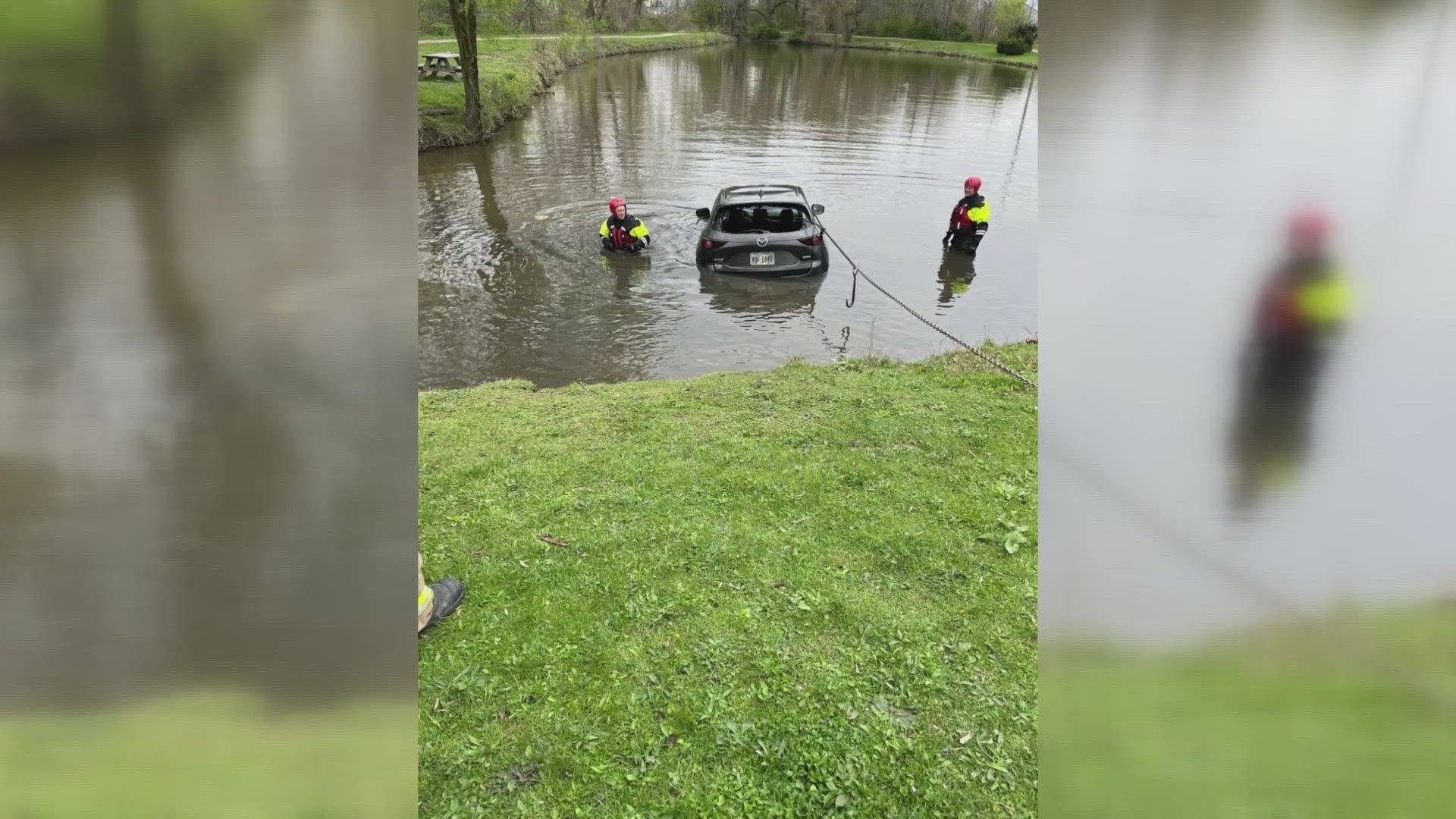
Thursday night's storms knocked out power for more than 4,000 people in Stark County alone, and a tornado warning had been in effect for Stark as well as Holmes, Portage, and Wayne Counties. Power has since been restored to virtually all customers.