
CLEVELAND — The National Weather Service has issued several Flash Flood Warnings in Northeast Ohio on Thursday.
A Flash Flood Warning is in effect for southwestern Summit County until 12:15 a.m. on Friday morning.
At 7:13 p.m. on Thursday evening, Doppler radar indicated thunderstorms producing heavy rain across the warned area. Between 1.5 and 2.5 inches of rain have fallen. Flash flooding is ongoing or expected to begin shortly.
Flooding of small creeks and streams, urban areas, highways, streets and underpasses as well as other drainage and low lying areas is possible.
Some locations that will experience flash flooding include: Akron, Barberton, Green, Norton, Portage Lakes and Pigeon Creek.
This includes the following streams and drainages: Pancake Creek, Tuscarawas River, Pigeon Creek, Yellow Creek, Wolf Creek and Van Hyning Run.
Additional rainfall amounts of 0.5 to 1 inch are possible in the warned area.
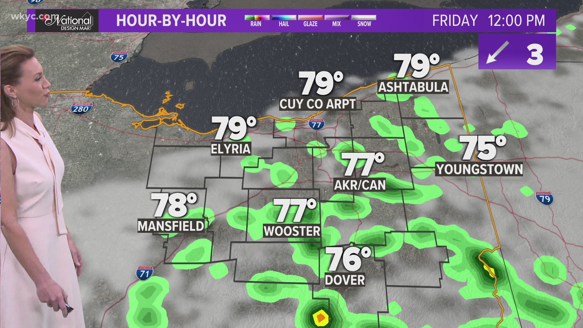
Watch: Meteorologist Matt Wintz provided an update on the flooding situation on WKYC's Facebook Live Thursday evening
Additonally, there is a Flash Flood Warning for the central portion of Richland County until 8:45 p.m., plus a Flash Flood Warning is in effect for the northeastern part of Ashland County and southwestern Medina County until 9:00 p.m. on Thursday.
Between 1.5 and 2.5 inches of rain have fallen.
Some locations that will experience flash flooding include Mansfield, Ontario, Lodi, and Sullivan. Additional rainfall amounts of 0.5 to 1.5 inches are possible in the warned area.
There is also a Flash Flood Warning in place for southern Medina County until 9:30 p.m. tonight.
At 6:53 p.m, Doppler radar indicated thunderstorms producing heavy rain across the warned area. Between 1.5 and 3 inches of rain have fallen. Some locations that will experience flash flooding include: Wadsworth, Lodi, Chippewa Lake, Seville, Westfield Center, Gloria Glens Park, Chippewa-On-The-Lake and Briarwood Beach.
In addition to the Flash Flood Warnings, there is also a Flood Advisory in effect for the northwestern part of Stark County through 9:45 p.m.
At 6:45 p.m., Doppler radar indicated heavy rain due to thunderstorms. Minor flooding is ongoing or expected to begin shortly in the advisory area. Between 0.5 and 1.5 inches of rain have fallen.
According to the WKYC Weather team, we have 2-3 days left of the humidity before some cold fronts are able to push the high dew points back south. In the meantime, expect and isolated shower or storm.
By Monday, there will be a huge difference in the "air that you wear" across Ohio. We should still have high temperatures in the 70s & 80s for the long-term forecast, but it will feel less muggy next week.
More Headlines: