
CLEVELAND — More cold weather is coming to Northeast Ohio!
The National Weather Service has issued a Wind Chilll Advisory that will take effect at 1 a.m. on Saturday and last until 10 a.m. that morning. The following counties are impacted:
- Lorain
- Ashtabula
- Medina
- Summit
- Stark
- Portage
- Trumbull
- Richland
- Ashland
- Wayne
- Mahoning
- Holmes
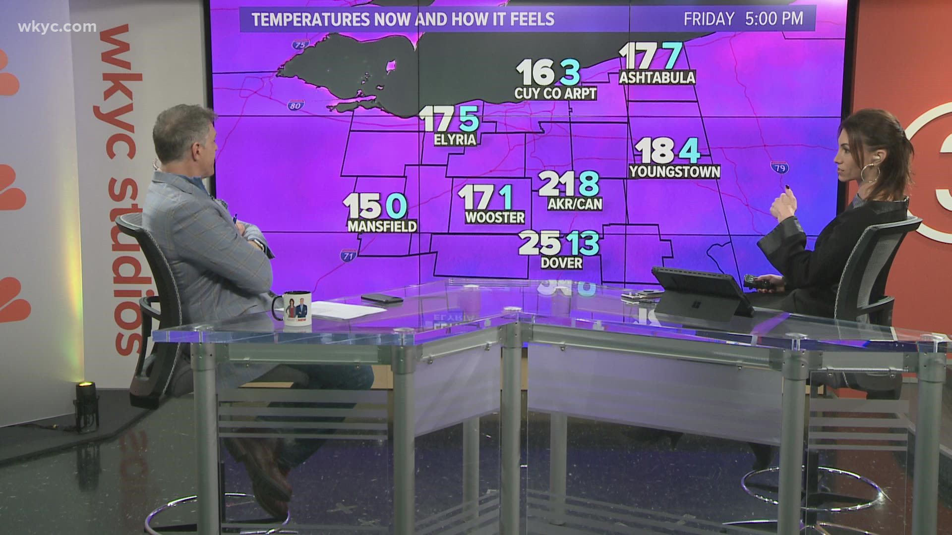
Very cold wind chills are expected during the impacted time. The affected counties could see wind chills as low as 10 to 15 below zero. The National Weather Service says the cold wind chills could result in hypothermia if precautions are not taken. You are advised to use caution while traveling outside. Wear appropriate clothing, including a hat and gloves.
FORECAST: Frigid start to the weekend
Although we are bracing for a cold snap, the 3News Weather Team says by early next week, temperatures will trend as close to normal as they've been in more than a week. That will include a couple days in the 40s. However, they won't be a dry couple of 40 degree days, because we're likely to see some rain showers and potentially some mixing of snow/rain, too.
Want to be among the first to know the most important local and national news? Download the free WKYC app today: Android, Apple.
Related Stories: