
CLEVELAND — There were hundreds of school closings Tuesday as the winter storm left messy road conditions throughout Northeast Ohio. Now that the winter storm warnings have been canceled and the system has moved out of the region, here's a look back at how these wintry conditions moved through Northeast Ohio. You will see the most-recent updates near the top of the article.
See the latest iAlert school closings & more HERE. Track the snow in your area with our interactive radar by tapping HERE. See the current weather alerts in your area by tapping HERE.
7:59 a.m. Stop-and-go traffic conditions on I-77 North due to a crash near Arlington Road in Akron.
7:35 a.m. ODOT says the roads in Akron and Canton are "clear."
7:30 a.m. Here's our team coverage with the latest traffic and weather conditions:
6:45 a.m. The Winter Storm Warning -- which was originally slated to last until 1 p.m. today -- has expired early for most counties. 3News' Hollie Strano has more in her latest weather forecast:
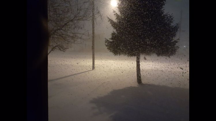
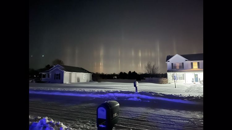
6:44 a.m. This is awesome!
5:40 a.m. Heads up!
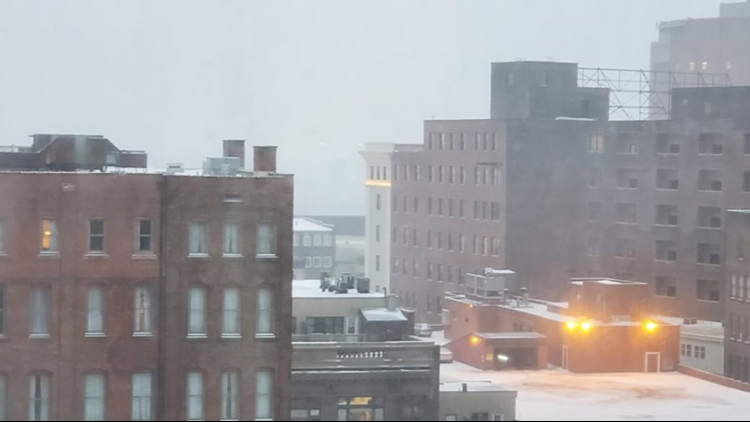
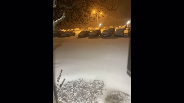
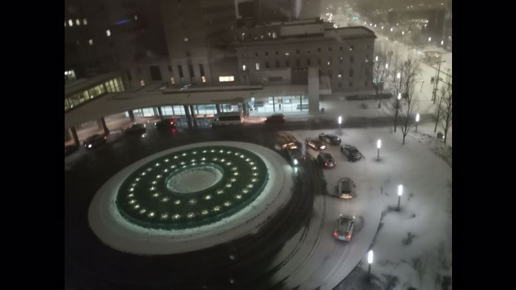
5:39 a.m. Snowy view from Copley:
5:34 a.m. An update from ODOT...
5:27 a.m. A friendly reminder from 3News' Jasmine Monroe...
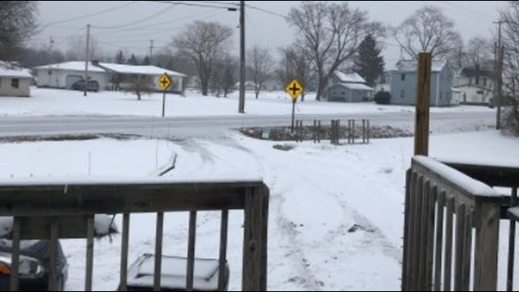
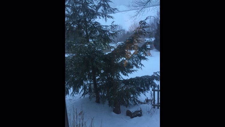
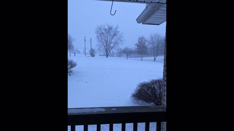
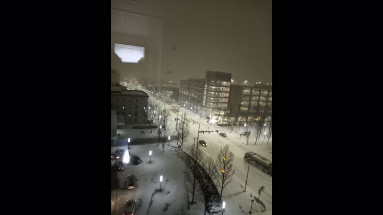
And this view in Chesterland:
5:15 a.m. 3News' Hollie Strano has the latest forecast...
5 a.m. Here's our in-depth team coverage showing what you can expect heading out the door:
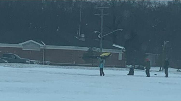
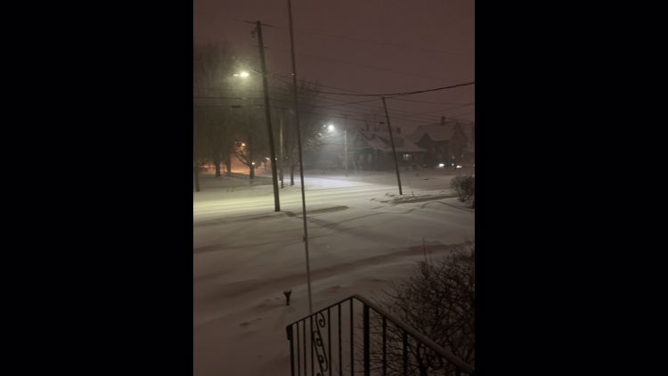
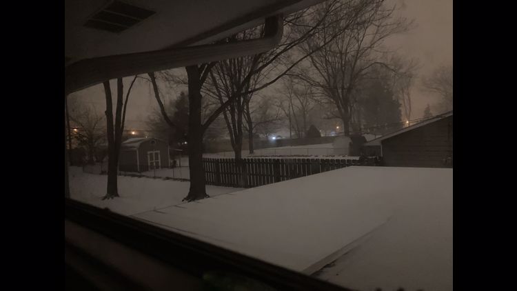
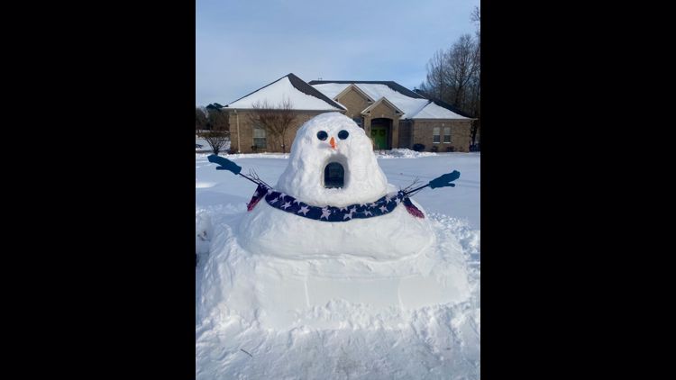
4:50 a.m. Sandra Gonsman shared this photo with us from Cleveland. Send us your photos HERE.


4:47 a.m. 3News' Hollie Strano says it's possible the Winter Storm Warning may be dropped hours before its 1 p.m. expiration. “The snow is gone, but there is still a lot of blowing and drifting snow," she said. "Travel is still very treacherous.”
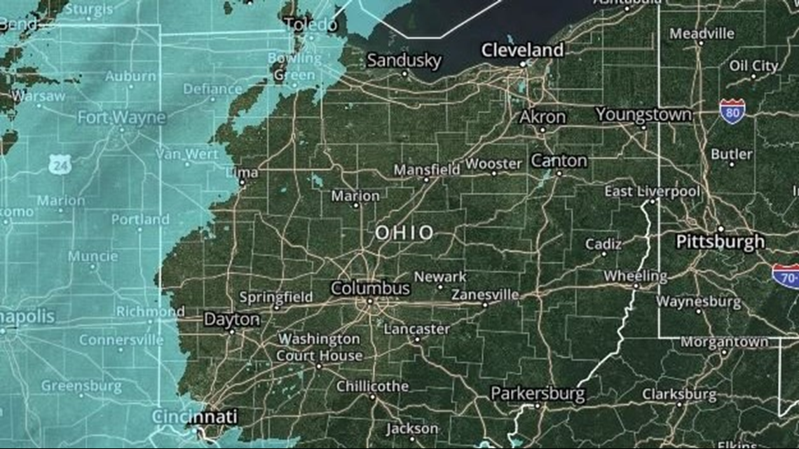
4:31 a.m. "The bulk of this storm system has pulled out of Northeast Ohio," says 3News' Hollie Strano. "We're still going to see some scattered snow showers and flurries -- and there's a lot of blowing and drifting snow going on -- but radar is clear as can be when we look at the local picture."
4:10 a.m. ODOT says there are 1,243 crews statewide. "Travel remains hazardous, so please stay home if you can," ODOT officials tweeted.
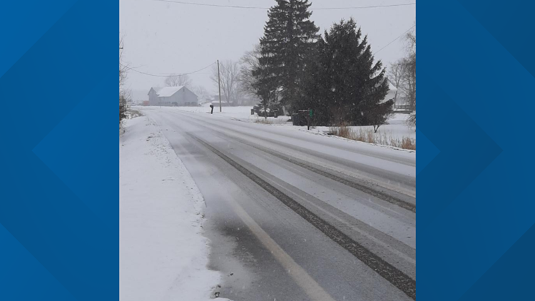
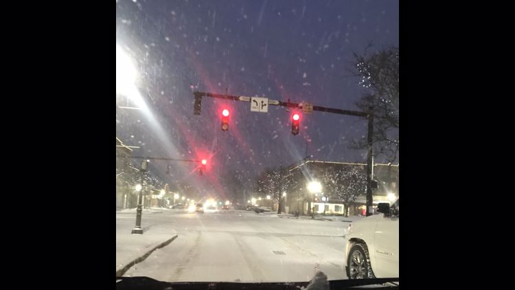
3:58 a.m. A peek at the road conditions from 3News' Austin Love:
3:03 a.m. 3News' Danielle Wiggins warns that road conditions are a bit tough this morning.
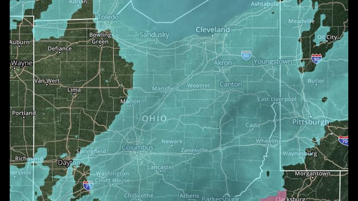
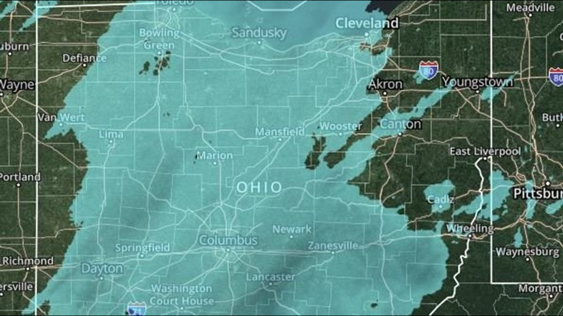
2:15 a.m. Here's an updated look at the radar:
2:08 a.m. ODOT says there are 1,244 crews working throughout the state. "We're seeing everything from snow-covered to icy roadways. If you can, please avoid travel."
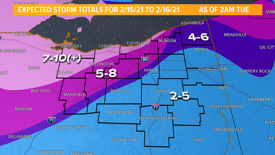
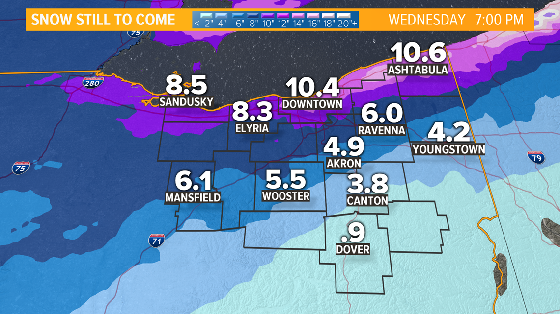
1:30 a.m. Those mesoscale bands are really laying it down. It isn't all snow but it isn't rain or sleet. This has really been fun to watch. The mix still continues for areas east of I-71, which will impact accumulations. Here is my last go at the snow accumulation totals for tonight. This is for the whole storm total.
Blowing and drifting snow will be the main problem for tomorrow - and just cleaning up as a whole. -bk

1 a.m. We've seen an uptick in the snowfall across much of the area west of I-71 and closer to the lakeshore. Smaller scale interactions are helping to enhance areas of snow - this is called mesoscale banding. We continue to fly by the seat of our pants - this storm is pulling every trick in the book. Roads are very snowy and the wind is really complicating things. -bk
12 a.m.
What's changed: The mix is far more widespread than expected which will hold down overall snow totals. BUT that same ice is causing significant problems with roadways and untreated surfaces.
What hasn't changed: Winter storm warning continues. Snow/mix will taper off in the early morning. Flurries and cold continue tomorrow.
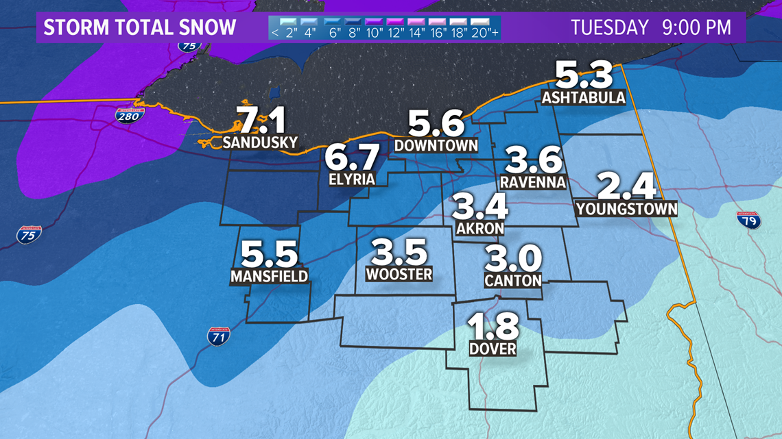
Updated storm total snowfall:

-bk
UPDATES FROM MONDAY, FEB. 15:
11:45 p.m. ODOT has announced that I-76 eastbound, between SR 3 and SR 57 in Medina County, is now open. The road had been closed due to a crash.
11:20 p.m. Ohioans are no stranger to snow, but winter snow combined with driving can catch even the most experienced drivers off guard. Driving in these winter months can be especially tricky when the temperature drops so low and snow hits the ground. Laura Caso checked in with a local driving expert for some tips.
11:05 p.m. Lynna Lai has been tracking the conditions of the roads throughout Northeast Ohio all evening. Here's her report during "What's Next":
11:00 p.m. As we reach the top of the hour and the start of "What's Next," Chief Meteorologist Betsy Kling has the look at our latest weather conditions:
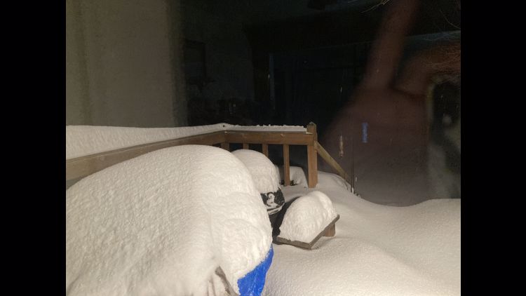
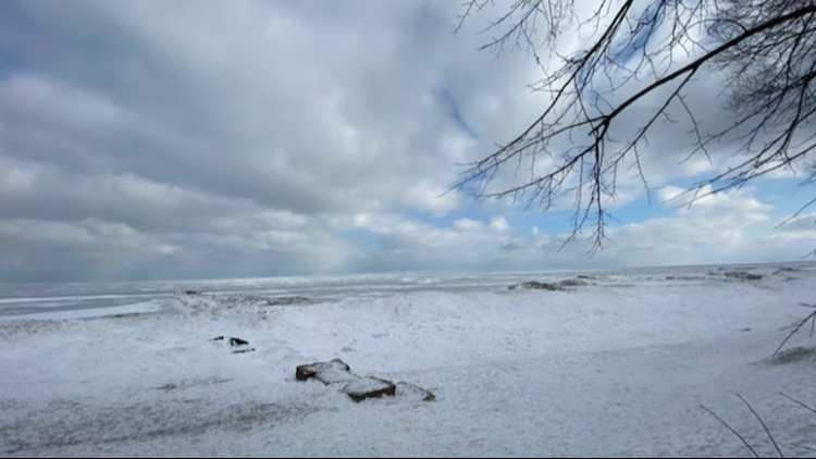
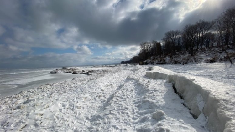
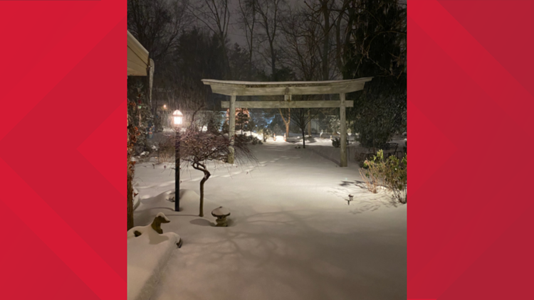
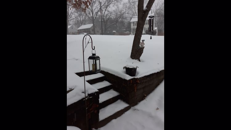
10:50 p.m. Check out our photo gallery with some of the wintry images from Monday:
Winter storm hits Northeast Ohio: Photos


10:41 p.m. Meteorologist Matt Wintz has a quick look at our current conditions on Twitter:
10:08 p.m. The Ohio Department of Transportation reports that I-76 eastbound, between SR 3 and SR 57 in Medina County, is closed due to a crash. Emergency crews are on scene. ODOT says there is no time frame as to when the road will reopen. Motorists are asked to avoid the area.
9:50 p.m. Cleveland State University has announced that it has cancelled in-person classes for Tuesday, February 16 due to weather conditions. Remote courses and other remote operations will proceed under the normal schedule.
9:45 p.m. Cuyahoga County has announced that it will start on a two-hour delay Tuesday for those non-essential employees whose start time is before 10 a.m. This only applies to employees reporting to physical locations. If you are unsure if you are considered an essential employee, please check with your supervisor
9:30 p.m. We have updated our list of snow parking bans for several Northeast Ohio communities.
9:15 p.m. Here are some other snow emergencies from counties across Northeast Ohio:
9:05 p.m. The Erie County Sheriff's Office and the Huron County Sheriff's Office have both declared a Level 3 Winter Weather Road Condition Advisory. This means roadways are closed to all non-emergency travel due to "extremely hazardous conditions."
8:55 p.m. ODOT provided these photos of the I-90 corridor in Lake County, where speeds have been reduced to 40 miles per hour.
8:35 p.m. The Chief, Betsy Kling, is here for a special extended look at our weather picture on Facebook Live.
8:20 p.m. The Cleveland Metropolitan School District has announced that they will be closing their meals sites on Tuesday because of the weather. Pickup will now be held on Wednesday.
7:55 p.m. Here's an update from ODOT, including a look at road conditions in Lorain County:
7:48 p.m. We are starting to get a huge list of schools who will be closing on Tuesday. See the latest iAlert school closings & more HERE.
Also closed on Tuesday will be the Cleveland Public Library. Curbside and walk-up services and the meals programs will be suspended during the closure.
7:40 p.m. Meteorologist Matt Wintz kicked off Monday's Front Row with the latest look at our weather picture.
7:20 p.m. More from Chief Meteorologist Betsy Kling on Twitter:
7:00 p.m. Hello everyone! Betsy Kling here. What's the little saying... "That escalated quickly?" It sure did. Once the snow started it got sloppy real quick.
Winter storms are wonderfully complex weather systems and this one is DEFINITELY going to be featured in case studies and peer papers to come. We are literally trying to forecast what type of ice crystal will be falling from location to location. Why? We need to figure out where the snow will be fully versus where the snow will be mixing with or changing to sleet and/or freezing rain.
Mixed precip is the result of warmer air over our cold surface temperatures. As the mixing takes place we can watch it on a radar product called correlation coefficient. Basically we are looking for where all of the precipitation is uniform (all snow or all rain) and where it is not uniform (mixed precip). Here is what it looks like:

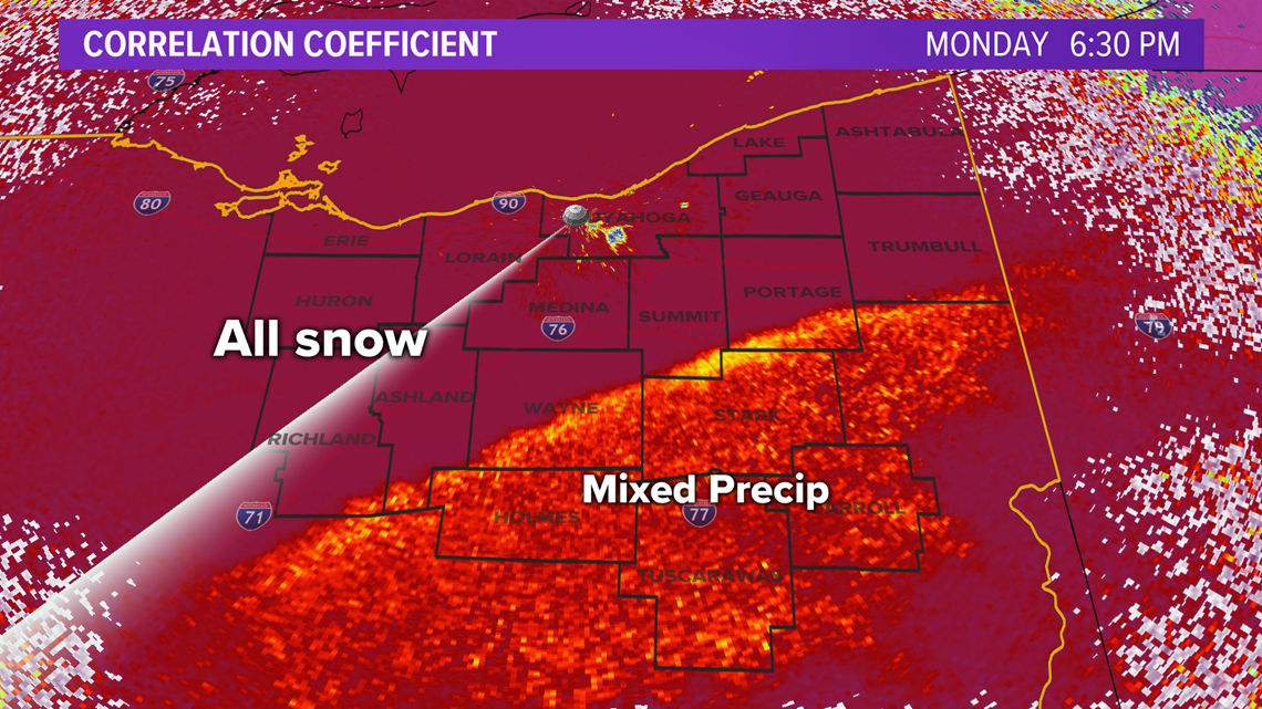
This is SO critically important because the highest snow totals will end up where we have NO mix. For now that looks to be west of I-71. Here's the latest on that:

I will be honest and tell you we have a queasy feeling about some of those higher numbers. It all depends on the snowflakes and how fluffy the snow is. The fluff depends on that mixing and we are now in wait and see mode. Mother Nature is in control. These storms are very humbling. :)
Please be careful. It's pretty bad out there. -bk
6:15 p.m. Here's a message from Gov. Mike DeWine and the Ohio Department of Transportation. ODOT is asking Ohioans to stay off the roadways in the state during this storm if possible.
6:10 p.m. Lynna Lai has a look at the weather conditions in the Akron/Canton area:
6:00 p.m. From Meteorologist Jason Frazer:
5:40 p.m. Meteorologist Matt Wintz has more on how much snow we can expect to get tonight as the storm works its way in. Chief Meteorologist Betsy Kling then takes a look at the next storm system moving its way eastward for later this week.
5:30 p.m. As What's New gets underway on Monday, here's how our traffic conditions are looking with Chief Meteorologist Betsy Kling. Plus, January Keaton checks in with ODOT, whose crews are working 12-hour shifts to keep our roads clear.
4:55 p.m. With the predictions of accumulating snow coming in tonight and early Tuesday, many are wondering if their COVID-19 vaccination appointment will still be taking place. We reached out to several vaccine providers in the area to find out their plans for Tuesday with potentially heavy snow and hazardous road conditions.
3:11 p.m. Meteorologist Jason Frazer has a look at the conditions at the Ohio/Indiana line as snow continues to move its way eastward. (Picture via ODOT Statewide traffic camera)
3:00 p.m. Snow is slowly making its way to the Indiana/Ohio border.
1:30 p.m. Current temps in the Northeast Ohio area
11:29 a.m. Maple Heights has issued a snow parking ban. It will take effect at 9 p.m. Monday and continue until further notice. "All vehicles shall be removed from the street prior to the ban taking effect or could be ticketed and/or towed," officials said. See the list of all current parking bans.
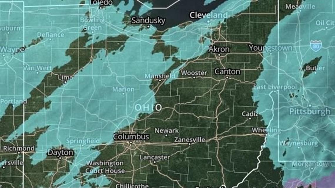
11:15 a.m. Checking on the radar...
11:01 a.m. Here's what we can look forward to after this winter storm is done... Ummmm... Yeah...
10:58 a.m. ODOT gives an update for drivers in Northeast Ohio:
10:15 a.m. Here's our updated snowfall forecast:
9:55 a.m. The city of Mentor issues a snow parking ban until further notice. See the list of all current parking bans.
9:48 a.m. 3News' Matt Wintz gives us a sneak peek at the snow that's heading our way...
9:45 a.m. Here's a glimpse at the snow on radar.

9:22 a.m. ODOT tweets this reminder: Don't crowd the plow!
9:03 a.m. ODOT says there are currently 1,165 crews working across the state.
8:54 a.m. Tallmadge has announced a snow parking ban that will be in effect until 5 a.m. Wednesday. See the list of all current parking bans.
8:40 a.m. Here's a look at the snowflakes flying in downtown Cleveland:
8:37 a.m. The city of Green in Summit County has activated a snow parking ban now through 11:59 p.m. on Sunday, Feb. 21. See the list of all current parking bans.
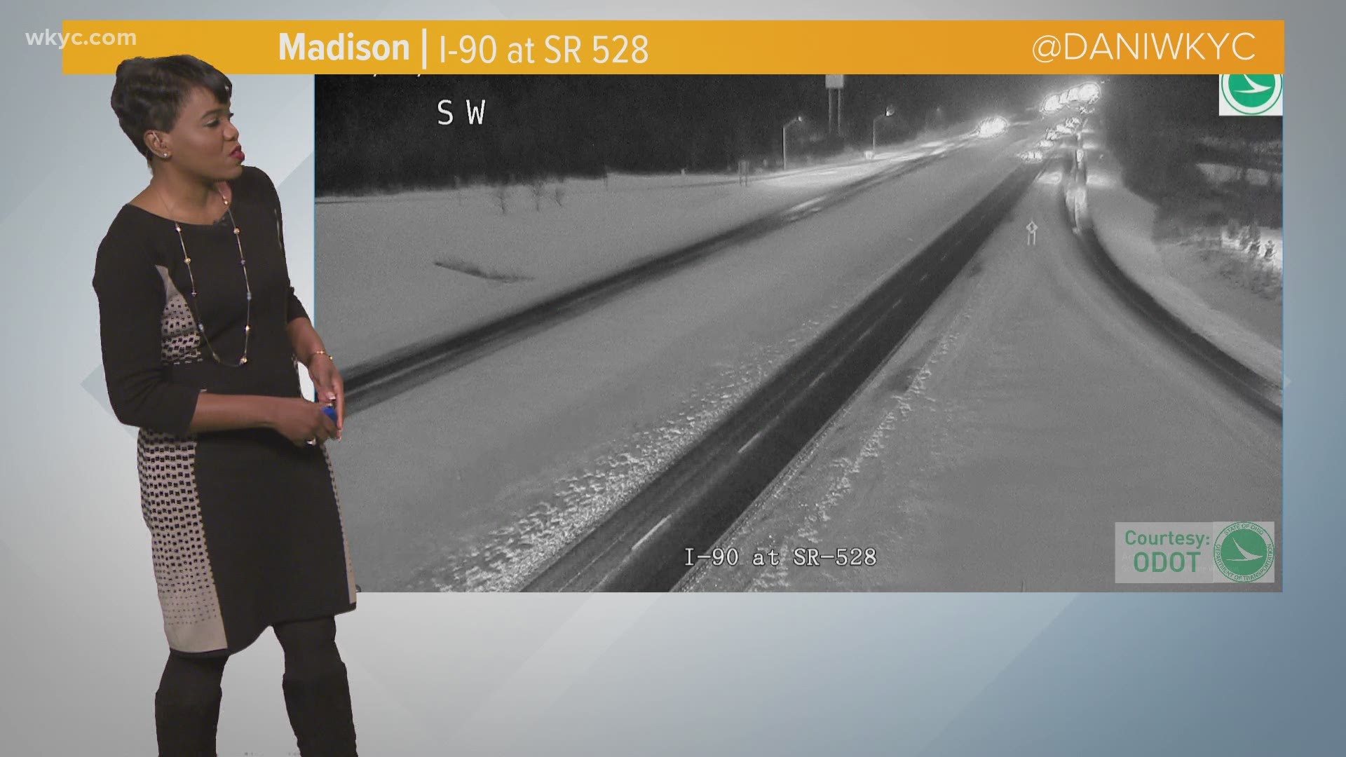
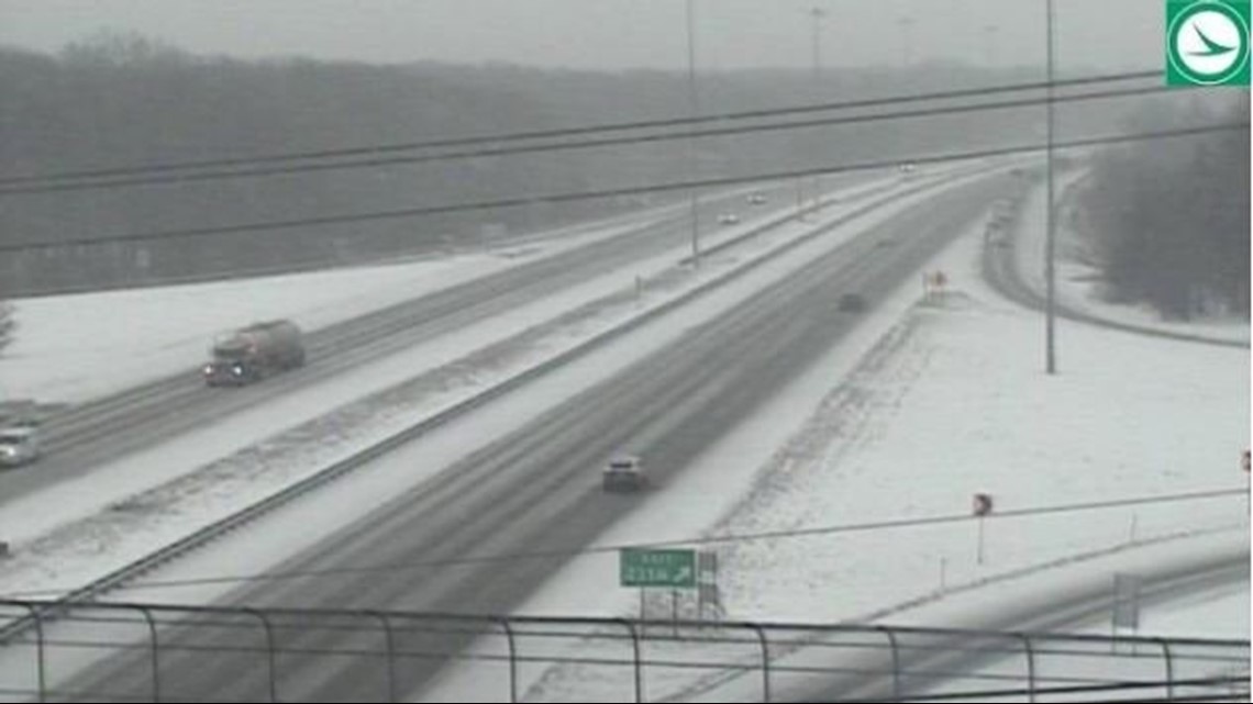
8:15 a.m. Here's a peek at the road conditions along I-71 at Route 82.

8:08 a.m. 3News' Danielle Wiggins is following a handful of newly reported crashes:
8:01 a.m. More information on the I-90 West crash:
7:55 a.m. An overturned semi is causing some issues on I-90 West at West 41st Street. Authorities are asking drivers to avoid the area until further notice. Here's a live look at the scene:
7:39 a.m. Lorain has announced a snow parking ban that's in effect from noon Monday until noon Wednesday. See the list of all current parking bans.
7:30 a.m. We have extended team coverage of the incoming snow -- and how much to expect in your area. We streamed the following video live with 3News' Hollie Strano, Danielle Wiggins and Jason Frazer.
7:27 a.m. ODOT says there are more than 300 crews working throughout Northeast Ohio. Here's a look at road conditions in Portage County:
7:19 a.m. Slow traffic conditions on I-77 through Tuscarawas County.
7:10 a.m. Snow plows moving through Rocky River.
7:09 a.m. Here's a glimpse at the snow on radar:

6:58 a.m. ODOT gives a glance at road conditions in Dover:
6:35 a.m. Here's our team coverage of the weather conditions -- and what's to come:
6:30 a.m. ODOT says they have 300 plows working on the roadways throughout Northeast Ohio.
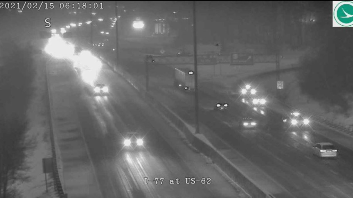
6:18 a.m. A look at the snow on I-77 at 62 in Stark County:

6:13 a.m. Be careful out there!
5:55 a.m. Snow starting to come down in Medina County.
5:36 a.m. 3News' Danielle Wiggins isn't showing any traffic troubles at this time.
5:33 a.m. Here's a glimpse at the radar as the first round of snow makes its way into Northeast Ohio:

5:15 a.m. 3News' Hollie Strano gives an hour-by-hour update on how this winter storm is expected to evolve throughout the day. Check out those possible snow totals, too!
5 a.m. Here's our in-depth team coverage of the winter storm before the snowflakes start flying:
4:50 a.m. Although we're not seeing any snowflakes in Northeast Ohio just yet, here's a look at the messy road conditions in Pike County. ODOT now says there are 1,060 crews working across the state.
4:30 a.m. 3News' Hollie Strano offers a glimpse at what to expect as the snow moves in: “This is going to be an evolving scenario through this morning, and this is the first of two punches," she said during her first weather segment on GO! at 4:30 a.m. on channel 3. "The biggest impact is going to come from the second punch that we get later today, say toward dinner time going into tonight and the start of your Tuesday. But even that being said, we’re still going to be talking about snow showers even throughout today.”
4:18 a.m. 3News' Jason Frazer is excited about the snow... Can't you tell?
3:48 a.m. We will have live coverage of today's wintry conditions from 4:30- 7 a.m. on Channel 3.
3:44 a.m. ODOT says there are currently 1,030 crews working throughout the state as snow moves into the western portion of Ohio.
3 a.m. 3News' Hollie Strano offers a preview of what's to come...
2:59 a.m. Snow has started moving into Western Ohio. Here's a peek at the interactive radar, which you can track HERE:

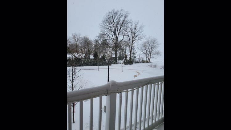
2:30 a.m. Once the snow arrives, be sure to share your wintry weather pictures or videos with us -- and we might use them on TV or here on WKYC.com. You can make your submissions by sending them to us using the WKYC app or sharing them on social media using #3Weather. Or you can text them to us at 216-344-3300 -- just remember to include your name and location so we know where the photo was taken and who to give credit to.
UPDATES FROM FEB. 14 BEFORE THE STORM'S ARRIVAL
11:05 p.m. Here's how ODOT is preparing for the snow:
7:46 p.m. Newburgh Heights jumps on the parking ban planning. Their ban is in effect from 8 p.m. Sunday until 8 a.m. Tuesday. See the list of all current parking bans.
7:43 p.m. Warrensville Heights announces a snow parking ban from 1 a.m. Monday through 6 p.m. Tuesday. See the list of all current parking bans.
4:54 p.m. Cuyahoga Falls issues a city-wide parking ban in preparation for the winter storm. The ban is in effect from 8 a.m. Monday through 10 p.m. Tuesday. "The parking ban is needed to assist our street crews in clearing off roadways. Cars parked on city streets will be ticketed and are subject to towing." See the list of all current parking bans.
3:11 p.m. The city of Akron is the first to announce a snow parking ban in anticipation of the winter storm. The ban takes effect at 6 a.m. Monday and will continue until further notice. "Motor vehicles shall not be parked on main streets or residential streets during parking bans," city officials noted. "Any vehicle parked in violation of this prohibition shall be removed (towed) by the city and the owner or operator shall be subject to penalties, fees and costs established for a parking infraction per Akron city code." See the list of all current parking bans.