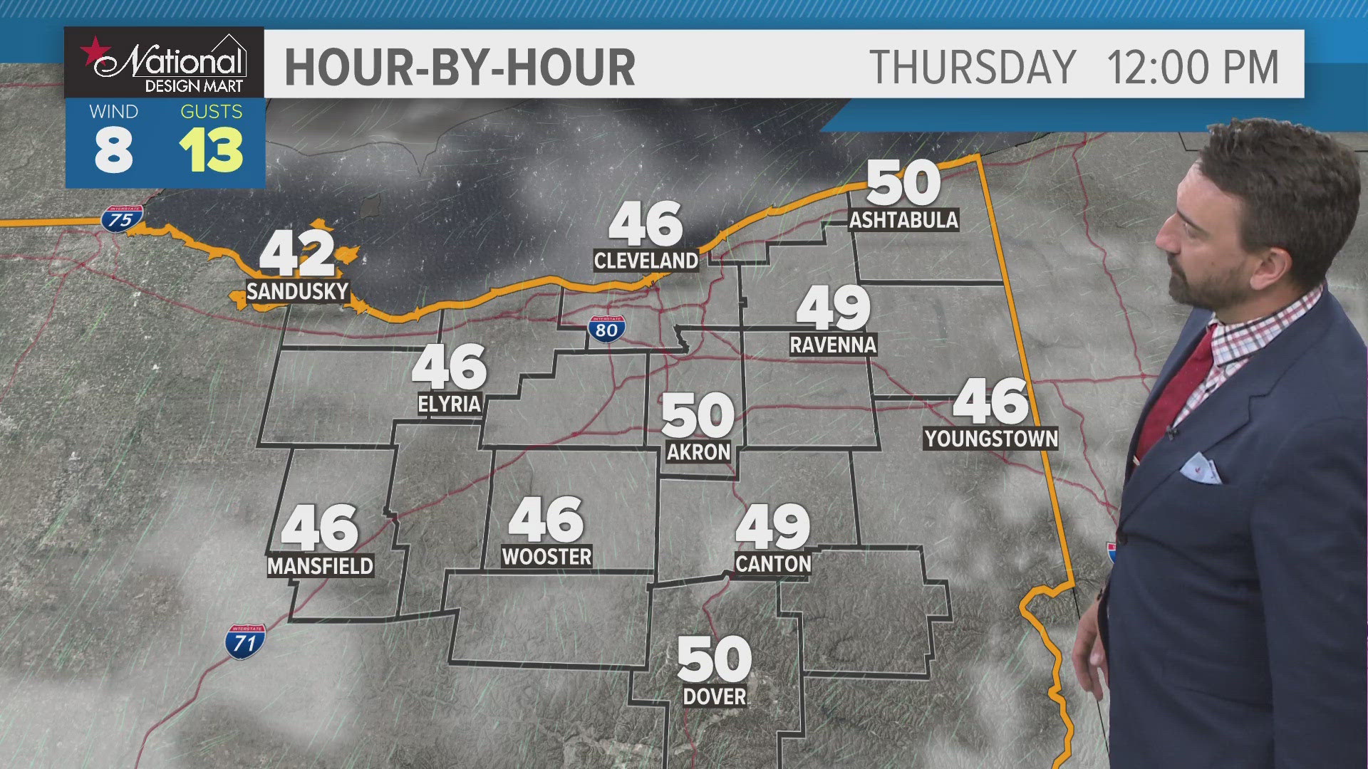

A strong cold front will drop temperatures back to near freezing tonight according to WKYC Chief Meteorologist Betsy Kling as the rain ends and lake effect snow bands develop for the primary snow belt region and last through Thursday.
Gusty winds of 40 m.p.h. will blow from the northwest and will continue into the day on Wednesday.
A WINTER WEATHER ADVISORY has been issued from 1 a.m. Wednesday until 10 a.m. Thursday for the following counties: Geauga and Ashtabula.
Here's what you need to know from the National Weather Service...
* WHAT...Lake effect snow expected. Snow accumulation through Wednesday of 3 to 6 inches. Snow will increase again Wednesday evening with total accumulations through Thursday morning of 5 to 9 inches. Winds gusting as high as 40 mph tonight then up to 30 mph on Wednesday.
* WHERE...Geauga and Ashtabula Inland counties.
* WHEN...From 1 AM Wednesday to 10 AM EST Thursday.
* ADDITIONAL DETAILS...Plan on slippery road conditions. The hazardous conditions could impact the morning or evening commute.
PRECAUTIONARY/PREPAREDNESS ACTIONS...
A Winter Weather Advisory for lake effect snow means lake effect snow is forecast that will make travel difficult in some areas. Use caution when traveling.