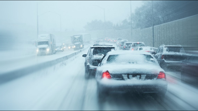
CLEVELAND — Snow has made its return to Northeast Ohio!
The National Weather Service has issued a Winter Weather Advisory for Cuyahoga, Lake, Geauga, and Ashtabula counties that began at 7 p.m. on Thursday and will continue until 12 p.m. on Friday.
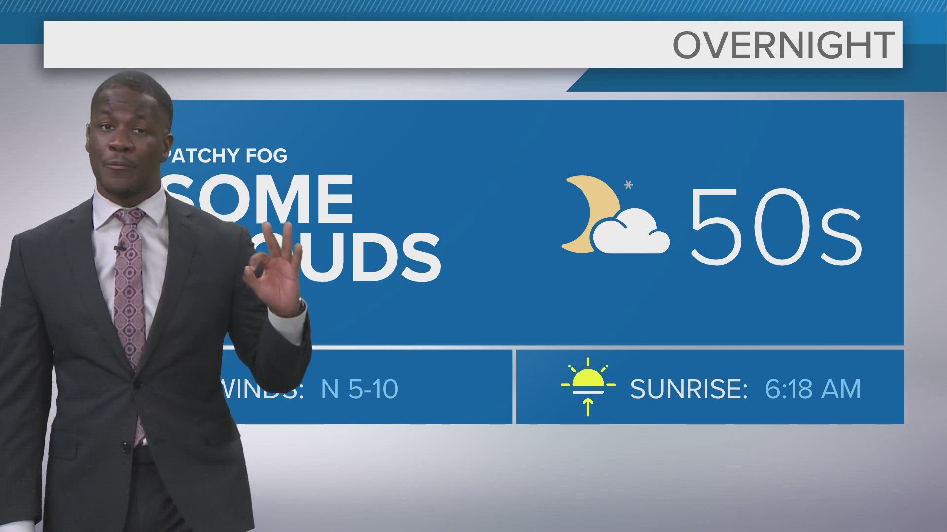
"This is not a big deal," says 3News Chief Meteorologist Betsy Kling. "This is November in Northeast Ohio. YES we will be getting snow and YES there will be accumulations. But it's not the motherload."
Lake effect snow hit the primary Snowbelt area with accumulations of 2-5 inches. Here are some county-by-county projections:
- In Lake County, the highest snowfall totals were expected south of Interstate 90.
- In Cuyahoga County, the highest snowfall totals were expected east of Interstate 77 and especially east of Interstate 271.
- Amounts to 6 inches were possible in northern Geauga County.
According to Betsy, the heaviest snow will fall overnight and will subside by Friday afternoon.
"There very well be slick roads and tricky travel, but there really aren't a ton of folks on the road in the wee-morning hours," she adds. "Some of the side streets could still be a little slushy at the start of the morning commute."
There have been a few school closures in Geauga County, with Berkshire, Cardinal, and West Geauga all shut down district-wide. Get a full list HERE.
While there haven't been any major accidents yet, the roads are slippery, and there have been a few relatively minor issues along the lakefront. Jasmine Monroe reported from Mentor earlier:
We want to see your snowy photos or videos. Send them to us HERE and we might use them on TV or here on WKYC.com.
MORE WEATHER: