

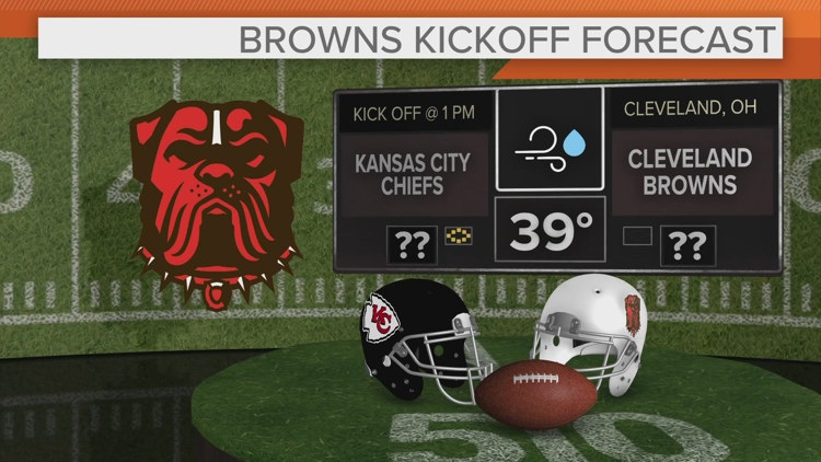
CLEVELAND — With temperatures falling below freezing for some, there could be a light glazing! Slick spots are possible. Our next round of precip has arrived. This will be a mix of rain/freezing rain depending on surface temperatures. Where freezing rain falls, expect up to a glaze of ice and slippery conditions through the morning.
Temperatures rebound through the morning for all rain through the rest of the day. On and off rain showers will be with us as temperatures try for low 40s through the afternoon. Winds will also be breezy with gusts over 30 mph.


Milder still into Monday with highs briefly in the 50s. Another round of rain for Monday.


Skies will be improving on Tuesday, but temperatures will struggle in the low 40s. 30s return for the rest of the week with the potential for another round of mix/snow later Wednesday into Thursday.


3-DAY FORECAST
SUNDAY: Early mix changing to on and off rain showers. Breezy. Low 40s.
MONDAY: Rain likely, mild. Low/mid 50s.
TUESDAY: Cooler and drier. Mid 40s.
Here are some quick weather resources you can use:
------------------------------------------------------------------------------
Get more weather from the 3News Weather team of Betsy Kling (@betsykling), Matt Wintz (@WintzWeather), Anthony Copeland (@WeatherManAC), and Jessica Van Meter (@jessicav_wx)
►MORE WEATHER | Get the latest weather headlines, video, photos & more
►ENVIRONMENT NEWS | Find out more about the world around us
►EARTH & SPACE NEWS | Learn more about our planet and outer space
►WEATHER FEATURES | Read our weather guides, storm reports & more
MORE WEATHER-RELATED HEADLINES:
