
CLEVELAND — It's baaaaaaaack!
Wintry weather returned this weekend as Mother Nature unleashed a blast of snow. Saturday was especially messy as morning snow changed to sleet -- then changed to rain -- and then back to snow again.
Below we have time-stamped updates of the wintry weather conditions as they evolved.
LIVE RADAR | Track the wintry weather
IALERT | See current closings and delays
NOTE: The most-recent information is posted highest. Be sure to refresh this page frequently to see the latest updates.
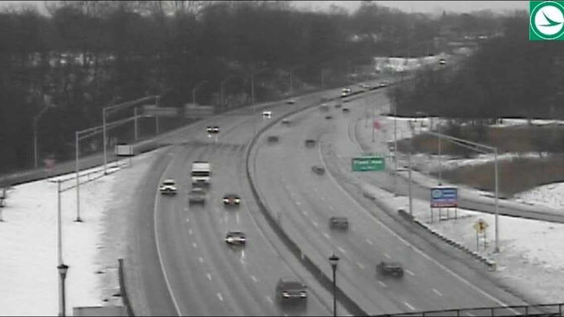
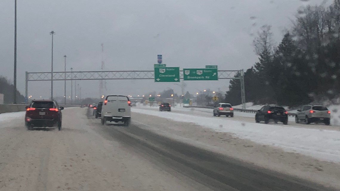
9:53 a.m. Look at that! The sun is shining over I-77 at I-480.


---
9:10 a.m. ODOT says they have more than 70 trucks working to maintain the roads throughout District 12.
---
8:44 a.m. The lake effect snow's path is getting smaller as the bands have moved back east.


---
7:30 a.m. ODOT says I-90 West was temporarily closed near Eddy Road due to a crash. Read more HERE.


---
6:15 a.m. ODOT says it has 400 crews out plowing and treating roadways throughout the entire state -- most of the efforts here in Northeast Ohio.
---
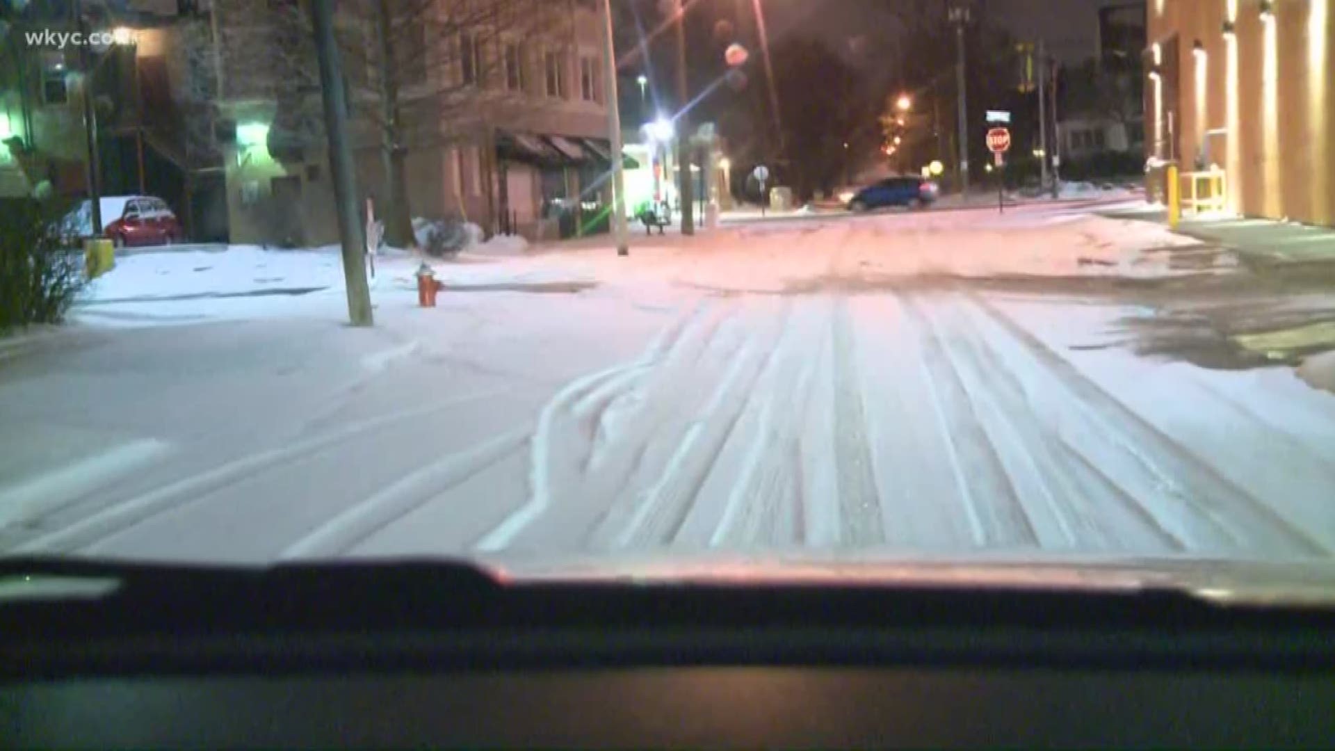
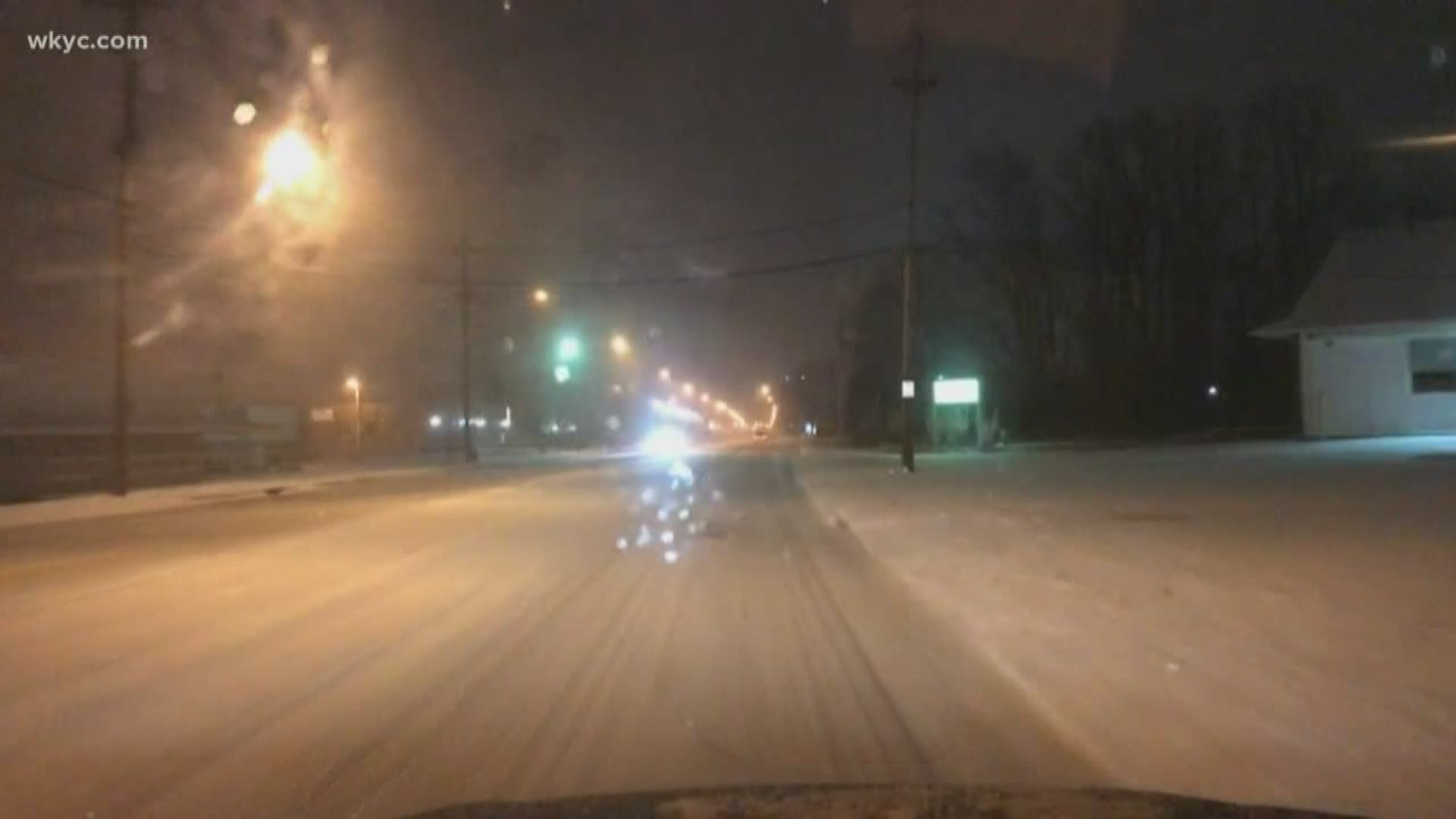
6 a.m. Slushy and snow-covered streets are greeting drivers throughout portions of Northeast Ohio this morning. Here's a look at our team coverage from 6 a.m.
---
5:30 a.m. A look at the lake effect snow on 3News' radar.


---
5 a.m. Lake effect snow continues falling throughout portions of Northeast Ohio. Some of the snow is heavy at times, creating tough travel on the roadways. Here's our latest forecast with Hollie Strano.
And our 5 a.m. team coverage.
---
4:20 a.m. The National Weather Service offers a detailed look at the lake effect snow bands that continue dumping on portions of Northeast Ohio.
---
12:18 a.m. The National Weather Service warns of tough road conditions due to ongoing lake effect snow.
---
POSTS BELOW ARE FROM SUNDAY, JAN. 20, 2020:
8:50 p.m. The east bound lanes of I-90 are re-opened after closing from a crash around 7 p.m. in Mentor
---


8: 30 p.m. The Public Information Officer with ODOT statewide confirms that there are 271 crews active in Northeast Ohio and approximately 400 crews active statewide.
---
7:50 p.m. Richland County is under a level 1 snow advisory.
----
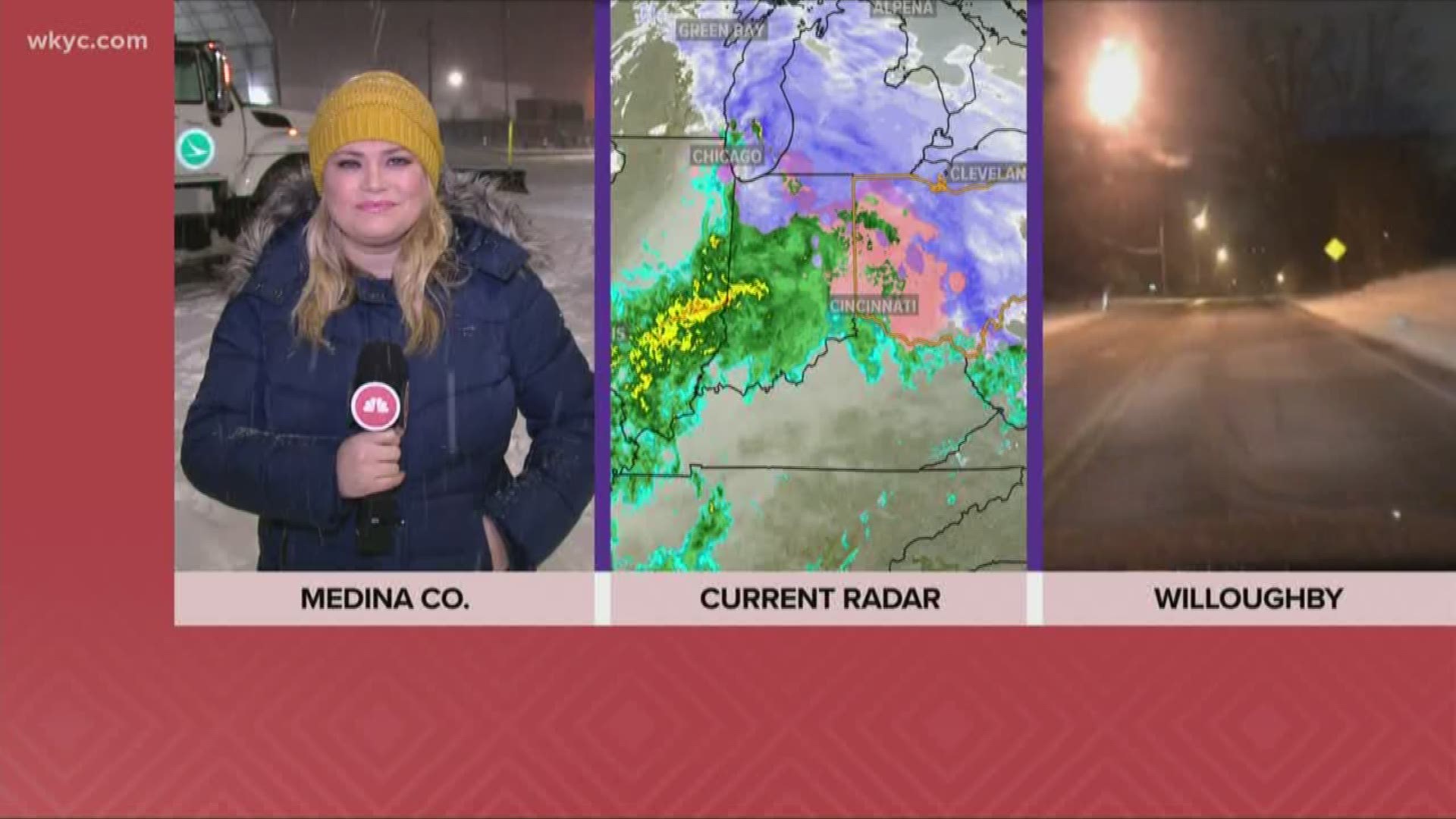
6: 30 p.m. Winter Weather Advisories remain in effect for Cuyahoga, Lake, Geauga and Ashtabula counties due to expected lake effect snow. Meteorologist Matt Wintz provided an update on the current conditions across Northeast Ohio.
5:45 p.m. ODOT is providing a view of road conditions in Lake County. Here's a look at Route 2 near Painesville.
---
5:35 p.m. Meteorologist Matt Wintz has an update on the current conditions and what you can expect into the night. He'll have more in his complete forecast on 3news at 6 p.m.
---
5: 30 p.m. The City of Geneva has activated their parking ban.
---
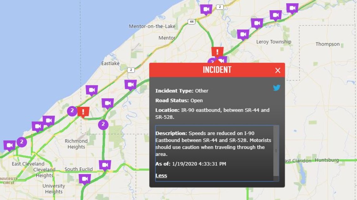
4: 30 p.m. Officials in Lake County have reduced the speed limit on I-90 between SR 528 and SR 44 to 50 mph.

---
4: 00 p.m. This time last year we experienced sever snowfall as well.The National Weather Service says some area experienced measurements as high as 18''.
2:50 p.m. Waves were captured crashing along the shores of Lake Erie Sunday afternoon.
---
1: 23 p.m. The City of Mentor has issued a parking ban. The ban prohibits parking on any city street. The action is an effort to allow plows more access to effectively clear the roads.
---
12: 15 p.m. We're continuing to track conditions across the region. But take a look at road conditions in Chesterland.
---
12: 00 p.m. We're tracking weather conditions across the regions as snow continues to fall. Take a look at the radar for current conditions in your area.
---
11: 20 a.m. Ever wonder how ODOT workers keep track of their routes? Check out the assignment chart at the full service maintenance facility in Cleveland.
---
10:52 a.m. The National Weather Service has issued a Winter Weather Advisory for Cuyahoga County. An additional 2-4 inches of snow is expected and the advisory is in effect until 4 a.m. Monday. Wind gusts of up to 35 mph are also expected along with slippery road conditions.
---
9:45 a.m. The National Weather Service has created a map that shows how much snow accumulated between Friday and Saturday.
---
9:33 a.m. It's the perfect day to hit the slopes! 3News' Lindsay Buckingham showed off her skills at Boston Mills/Brandywine.
---
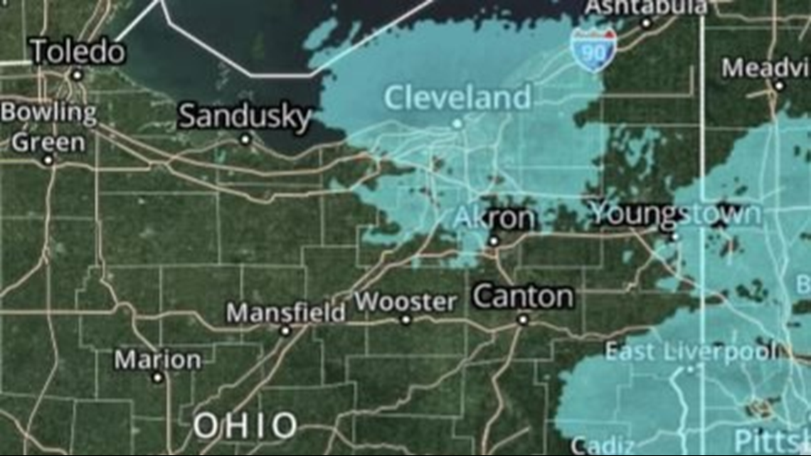
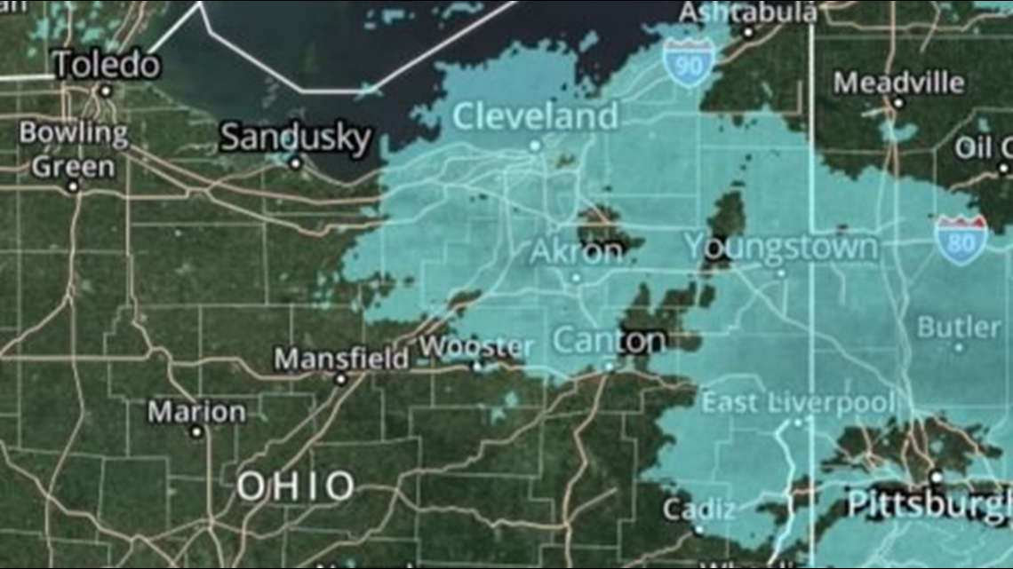
9:22 a.m. A look at the radar shows lake effect snow flying in portions of Northeast Ohio.

---
9:05 a.m. It's a skier's paradise at Boston Mills/Brandywine today as lake effect snow continues to fall.
---
9 a.m. More lake effect snow is expected throughout the day. Here's a closer look at how much longer it will last.
---
8:54 a.m. A peek outside on I-77 at Route 82 shows clear road conditions despite ongoing lake effect snow.


---
8:40 a.m. FirstEnergy is reporting a few thousand power outages -- primarily in Lorain, Erie and Huron counties with a few scattered outages in Cuyahoga, Summit and Geauga. See the current outages HERE.
---
7:35 a.m. Boston Mills/Brandywine ski resorts prepare to open for the day with extended hours for the Martin Luther King Jr. holiday weekend.
---
7:15 a.m. ODOT says there are 455 crews working statewide as snow continues to fall.
---
7:10 a.m. Lake effect snow as seen on radar.

---
7:05 a.m. How cool is this? We got to go for a ride inside a Snowcat at Boston Mills/Brandywine to see how their teams groom the slopes.
---
6:14 a.m. Lake effect snow is falling throughout Northeast Ohio. Jason Frazer takes a closer look at how much more snow to expect.
---
6:08 a.m. We visit Boston Mills/Brandywine for a closer look at how they make snow.
---
6:01 a.m. As lake effect snow continues to fall, here's an update on the conditions from 3News' meteorologist Jason Frazer.
---
1:24 a.m. The National Weather Service in Cleveland tweets about ongoing lake effect snow moving across Northeast Ohio.
---
12:12 a.m. The National Weather Service in Cleveland offers some perspective... Yeah, our snowy weekend really wasn't that bad.
---
UPDATES BELOW ARE FROM SATURDAY, JAN. 18, 2020
11:14 p.m. Michael Estime dives into the extended forecast with a look at lake effect snow.
---
10:28 p.m. ODOT says 464 crews are out statewide treating the roadways.
---
8:08 p.m. ODOT Cleveland says 73 trucks are still out treating roadways throughout District 12.
---
6:35 p.m. We've mentioned that there is the possibility for gusty winds throughout Northeast Ohio this evening. Check out this tweet sent to us by Julie Harden:
--
6:15 p.m. Here's the latest on the winter storm with Meteorologist Michael Estime on 'What Matters Most.'
--
5:35 p.m. Meteorologist Matt Wintz posted the following on Twitter as we look for colder temperatures to affect us this evening.
--
5:10 p.m. The National Weather Service is calling for yet another WINTER WEATHER ADVISORY to start back up at 11 p.m. Saturday night and continuing through 4 a.m. on Monday morning for Lake, Geauga, and Ashtabula counties.
Lake effect snow is expected. Total snow accumulations of 3 to 5 inches. Winds gusting as high as 40 mph with locally higher gusts near the lakeshore.
--
5 p.m. After a few quiet hours, the National Weather Service wants us all to get ready for another blast of winter weather.
--
2:52 p.m. ODOT and the Newburgh Heights Police Department informs us that there is an accident on I-77 Northbound between Harvard and Fleet. The right lane is closed. Motorists should expect delays through this area.
South of where the accident is, the OHGO cameras show traffic is moving. Please be careful out there everyone!

--
2:15 p.m. More snow parking bans have been declared across Northeast Ohio. In addition to Tallmadge, we now have Hinckley, Kent, and North Ridgeville on the list. As more cities check in, we'll keep the below list updated:
In addition, Summit County Sheriff Steve Barry has cancelled a snow emergency for the county.
--
1:45 p.m. Power outages are already becoming a problem in several parts of Northeast Ohio even before the wind advisory kicks in. According to FirstEnergy, 2.900 customers are without power. 766 of those are in Cuyahoga County.
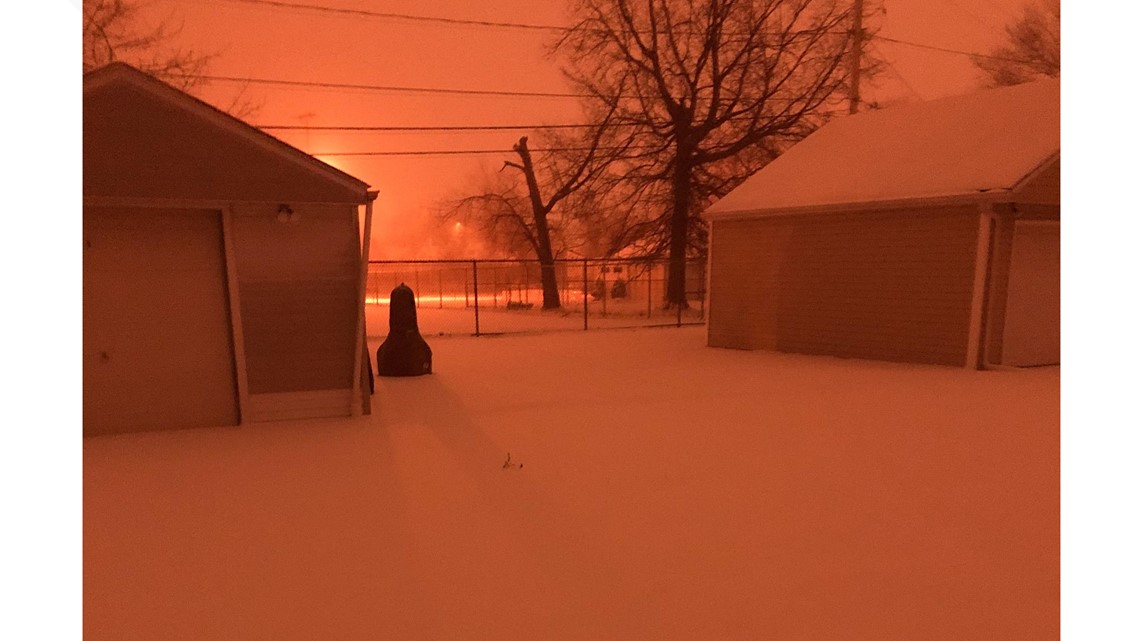
Also, check out this post from the Elyria Township Fire Department from this morning:
---
12:27 p.m. As if we needed any more challenges today! The National Weather Service will issue a WIND ADVISORY starting at 3:00 p.m. for Cuyahoga, Lorain, and Erie counties. It will start at 6:00 p.m. for Lake and Ashtabula Lakeshore.
Gusts could reach up to 50 miles per hour, meaning fallen trees and power outages are possible.
RELATED: Wind Advisory to take effect starting Saturday afternoon for lakeshore counties in Northeast Ohio
--
11:53 a.m. Here's the latest from our friends at ODOT. Currently 700 trucks are out on the roadways to keep you and your loved ones safe.
--
11:08 a.m. GALLERY TIME!
We asked and you delivered. Here's a look at some of the images of Saturday's wintry weather across Northeast Ohio sent in by viewers using the hashtag #3Weather.
PHOTOS | A look at wintry weather pictures from across Northeast Ohio


--
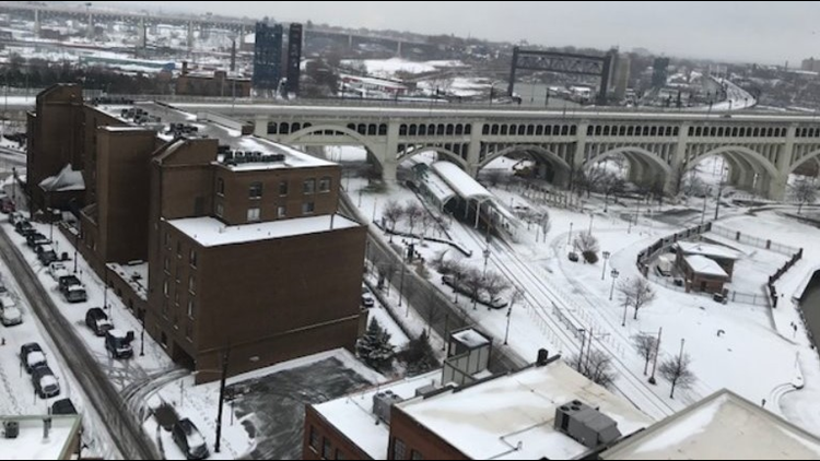
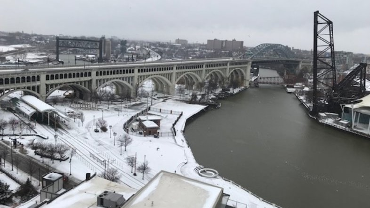
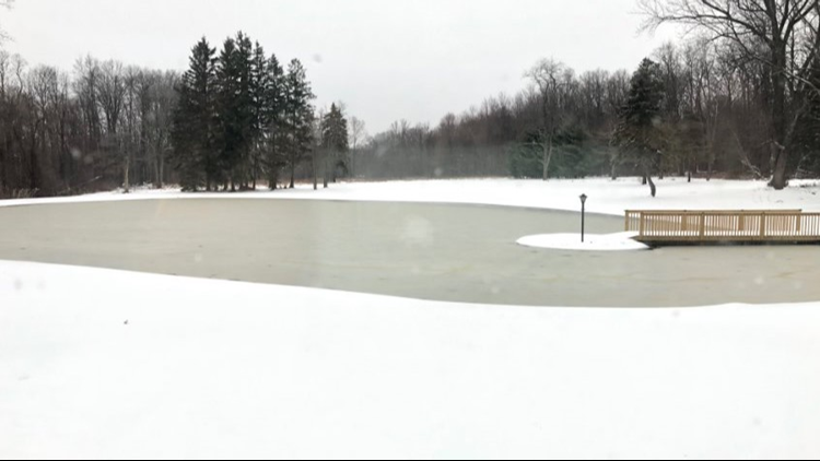
10:53 a.m. Here's a look at the snow on the ground this morning from the East Bank of the Flats in downtown Cleveland.
--
10:34 a.m. There was an accident that closed a portion of I-71 south at Route 18 in Medina this morning. The Ohio State Highway Patrol tells 3News that it was a single-vehicle accident that involved a commercial truck. Currently only the right lane is open. Here's a look at a shot from ODOT as crews get things back up and running.

--
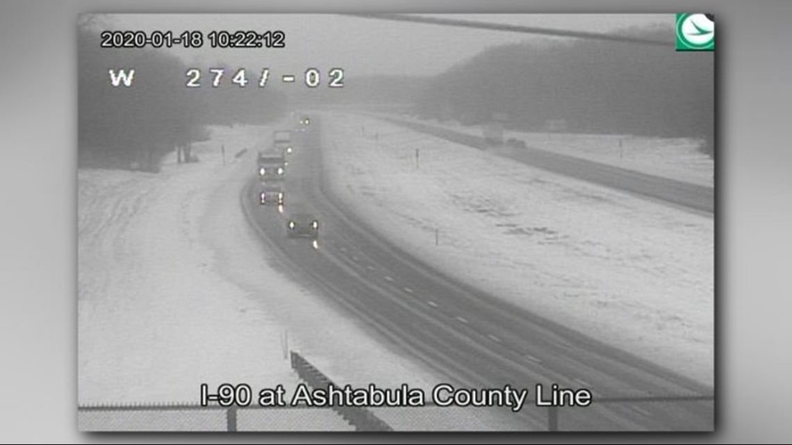
10:22 a.m. Some slushy conditions on I-90 at the Ashtabula County line, but the roadways aren't looking too bad at the moment.

---
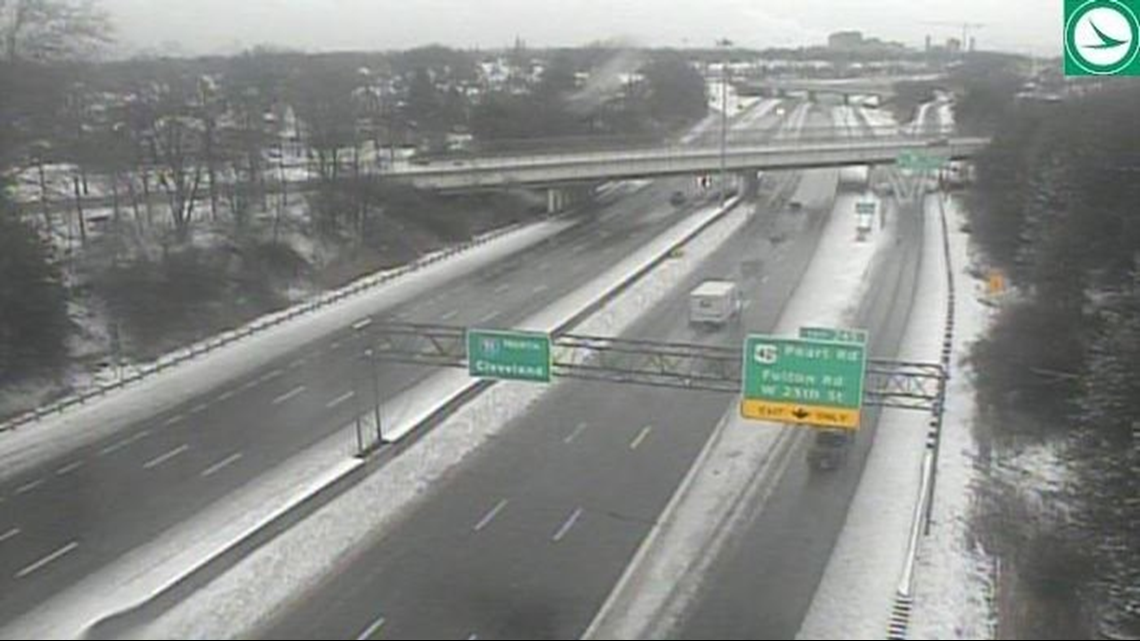
10:16 a.m. Conditions aren't looking too bad on I-71 at Denison Avenue.

---
10:14 a.m. A Winter Weather Advisory remains in place throughout Northeast Ohio. See a list of current weather alerts for your area.
---
10:05 a.m. The city of Tallmadge has issued a snow parking ban that will remain in effect until 6 p.m. Sunday.
---
9:57 a.m. When will this wintry mess end? 3News' Jason Frazer is tracking the latest on today's forecast.
---
9:56 a.m. A view of road conditions in Canton from Snapchat.
---
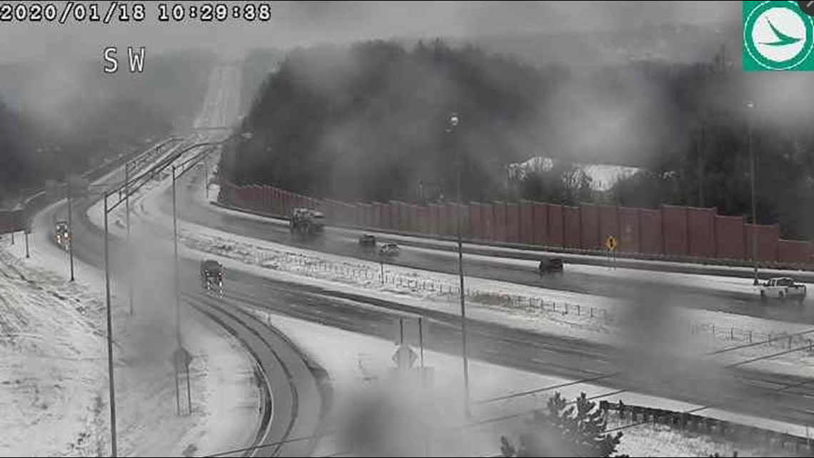
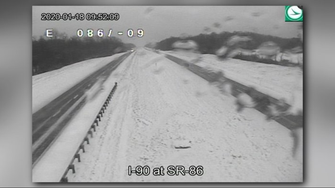
9:52 a.m. A look at road conditions on I-90 at Route 86.

---
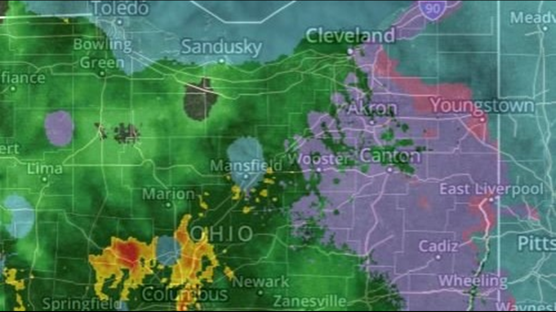
9:47 a.m. We're seeing a variety of precipitation on radar right now with snow, sleet and rain throughout Northeast Ohio.

---
9:30 a.m. Join us in thanking ODOT crews for everything they do to keep our roads safe. 👍
---
9:28 a.m. Here's a peek at road conditions in Grafton courtesy of 3News' Lindsay Buckingham.
---
9:26 a.m. "If you are headed out this morning, remember to give our men and women in the plows plenty of room to work!" ODOT Akron tweeted.
---
9:05 a.m. We found this footage from Alliance on Snapchat.
---
9:03 a.m. Tough travel conditions continue as snow and ice accumulate on the roadways. 3News' Lindsay Buckingham offered this update from Avon Lake Road in Lodi.
---
9 a.m. How much snow fell in your area? Share your pics by opening the Facebook post below.
---
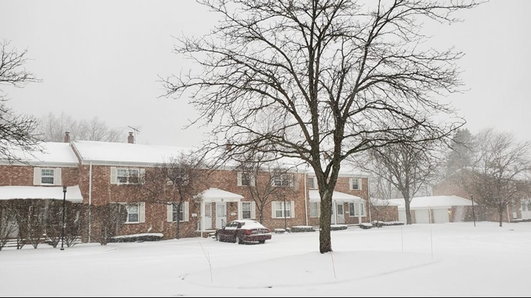
8:59 a.m. A glimpse of the snowy conditions in Amherst.
---
8:51 a.m. ODOT shares a lengthy live look from inside one of their plows.
---
8:50 a.m. ODOT says there are 1,013 crews working to clear roadways statewide.
---
8:43 a.m. 3News' meteorologist Jason Frazer offers an updated look at today's forecast.
---
8:30 a.m. Sure, it's a bit of a mess out there. But let's have some fun! Click on the Facebook post below to share your feelings about today's snow.
---
8:20 a.m. We spotted this video on Snapchat from Congress Lake.
---
8:15 a.m. This video from Snapchat takes a peek at road conditions in Fairlawn.
---
8:13 a.m. Check out these road conditions on I-480 in Brooklyn! Yikes!

---
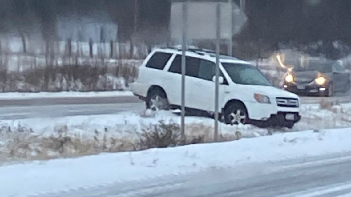
8:09 a.m. 3News' Lindsay Buckingham captured this photo on Route 224 where a vehicle spun out in Seville.

---
7:49 a.m. A glance at road conditions on Route 8 at 303.


---
7:46 a.m. Our team offers a quick Facebook live update on the current weather conditions to show how the winter storm continues to evolve.
---
7:30 a.m. A peek inside ODOT's Medina garage.
---
7:27 a.m. A glimpse of the current radar.


---
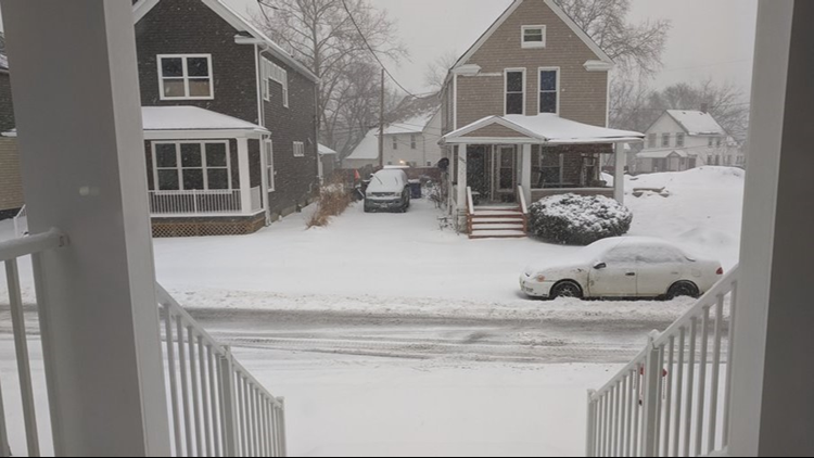
7:07 a.m. Kimberly Schmidt, a 3News viewer, sent us this snowy photo from Willowick.

---
6:57 a.m. ODOT says they now have 1,014 crews working throughout the entire state. "Please give them plenty of room to work."
---
6:56 a.m. Lindsay Buckingham takes us inside ODOT's Medina garage as hundreds of crews work 12-hour shifts while battling the wintry blitz.
---
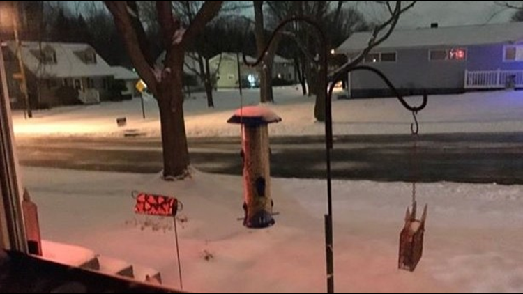
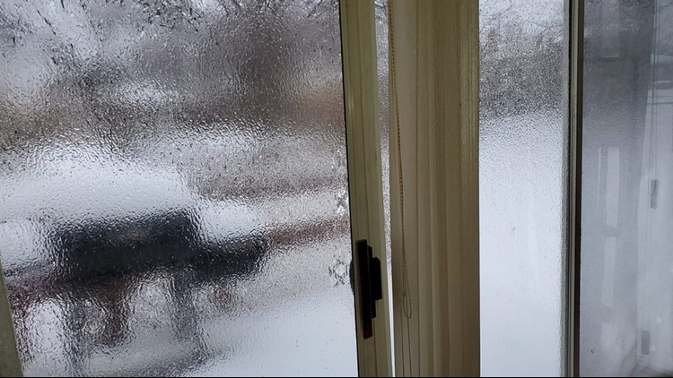
6:55 a.m. Karen Sobolewski, a 3News viewer, sent us this photo from Garfield Heights. "Deep enough to completely cover my feet over my ankles and in my boots," she told us.

---
6:35 a.m. The National Weather Service says 5.5 inches of snow has piled up in the Toledo area.
---
6:30 a.m. We're seeing some snow-covered streets as we approach sunrise.
---
6:24 a.m. ODOT Akron says they currently have 325 crews on duty while offering a view from one of their plows in Ashtabula County.
---
6 a.m. Team coverage of road conditions -- including a peek at the technology ODOT uses to battle snowy streets.
---
5 a.m. Our in-depth team coverage takes a closer look at how the weather is evolving.
---
2: 27 a.m. The National Weather Service tweets out an update on how much snow has accumulated in Cleveland so far.
---
1:55 a.m. The National Weather Service says "huge snowflakes" were falling at the Cleveland Airport. "Be careful out there, road conditions and visibility going down hill with this burst of heavy snow and wintry mix through the morning."
---
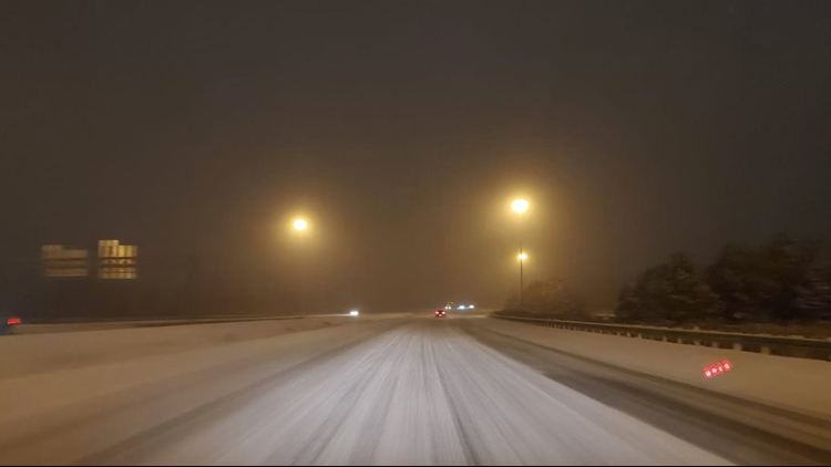
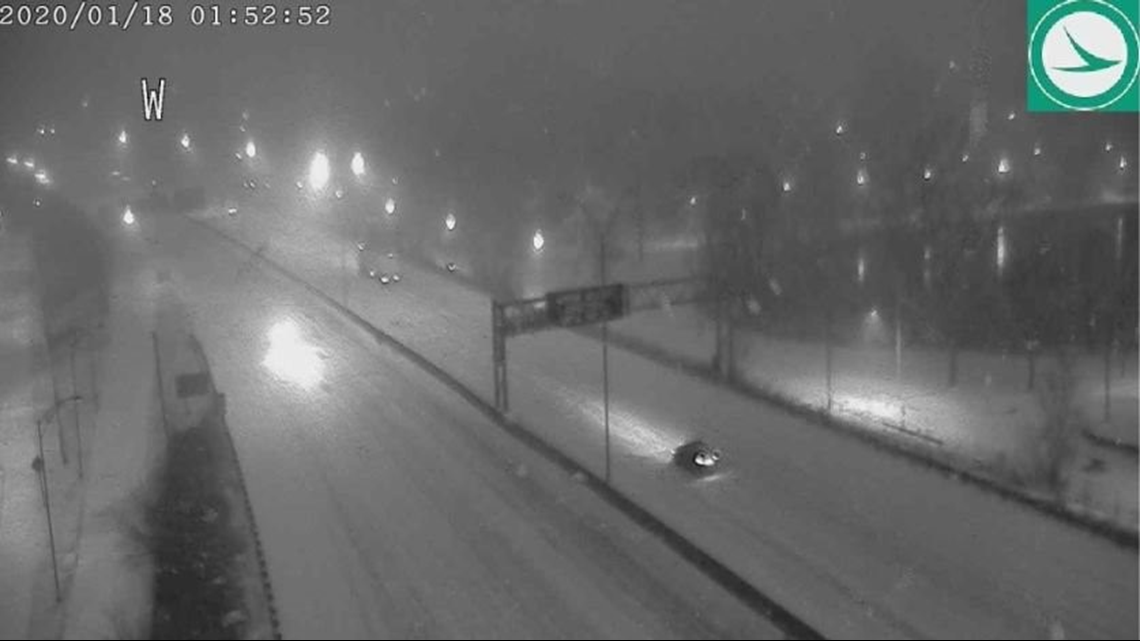
1:52 a.m. A look at the road conditions as heavy snow falls throughout Northeast Ohio.
Here's a look from I-77 at Route 18:


Here's a look from I-76 at Bowery:

RELATED: FORECAST | Extended 7-day outlook