
CLEVELAND — For the first time in 35 years, the National Oceanic and Atmospheric Administration (NOAA) has a ship operating in the Great Lakes.
NOAA ship Thomas Jefferson is in port in Cleveland on a mapping mission to help mariners understand what's beneath Lake Erie.
"The ship is a hydrographic survey ship, which is typically ocean mapping, in this case it's lake bed mapping," NOAA Ship Commanding Officer Matthew Jaskoski said.
It's the first time since the 1940s that hydrographic survey data has been collected by NOAA around the Cleveland area.
"The information that we had in the 1940s, while it was accurate and good then, might not be the most accurate picture that it is now," said Lt. Michell Levano, operations officer aboard the Thomas Jefferson.
The Thomas Jefferson, which is one of 15 vessels operated by the NOAA, traveled from Norfolk, Virginia to Cleveland.
"It was such a wonderful experience," Lt. Levano said. The crew of 35 left Virginia on the Atlantic Ocean to the St. Lawrence River, went through Quebec and Montreal, then had to pass eight locks along the St. Lawrence Seaway.
The trip across Lake Ontario took the Thomas Jefferson 16 hours, and then a whole day of transit to get through the locks of the Welland Canal.
The ship operates 24/7 for two to three weeks at a time, and then returns to port.
"We're collecting data to update the nautical charts or the maps ships use to get in and out of ports safely," Lt. Levano said.
The updated data is key for Lake Erie because the Port of Cleveland is one of the top 50 U.S. ports, according to Lt. Levano.
"We're out here using modern sonars, modern positioning techniques to do a full bottom coverage of high-resolution data gathering," said Jaskoski.
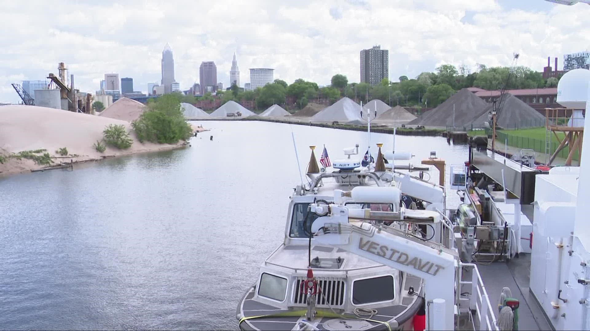
The Thomas Jefferson is equipped with multiple sonar systems to map the bottom of the sea floor. The ship also has two 29-foot vessels on board that can drop into the water and be more maneuverable.
"We use acoustics to find the depth of the sea floor," said Lt. Levano. "We send out a signal from the bottom of the ship, it hits the bottom of the sea floor and we wait for that sound signal to return."
The Thomas Jefferson typically covers the East Coast and the Gulf Coast, but is in the Great Lakes for the first time. Jaskoski told 3News that NOAA planned the mission at least two years in advance.
"The bulk of our work is going to be in Lake Erie," said Jaskoski. The crew will have a small project in the Detroit River that will take about a month, according to Jaskoski.
"Our main goal is to find anything that may be dangerous to surface navigation," says Jaskoski.
The NOAA Ship Thomas Jefferson is scheduled to map the areas surrounding Put-in-Bay and Kelleys Island. For that mission, the water depth will dictate when their 29-foot vessels will have to operate. Luckily, the vessels that can detach from the ship contain the same equipment and are able to gather the same information.
"Our most efficient method of running is if the ship is collecting data for 24 hours a day and both launches are going out for about 10 hours a day," said Jaskoski. "So that gives us about 46 hours of data collected in one 24 hour span."
The NOAA Ship Thomas Jefferson was built specifically for hydrographic surveying in 1991. The Navy transferred the ship to NOAA in 2003 and it began its duties.
"The Office of Coast Survey, which is the part of NOAA that we work directly for, is the oldest scientific organization in the United States," says Jaskoski.
The NOAA Ship Thomas Jefferson garnered its name because Thomas Jefferson signed the bill into law that created the Office of Coast Survey, according to Jaskoski.
The ship and its crew will be on Lake Erie until October, at which point it will travel back to Norfolk, Virginia for the winter.
More Headlines: