
CLEVELAND — Heads up! More storms are expected to head into Northeast Ohio on Wednesday afternoon and evening.
The National Weather Service has issued a severe thunderstorm warning for eastern Tuscarawas County as well as all of Carroll County until 8 p.m. Communities like New Philadelphia and Carrollton are in the direct path, with officials expecting heavy rain and wind gusts of up to 60 miles per hour. The rest of Tuscarawas County was also under a warning until 7 p.m., with experts reporting possible hail.
The NWS has also issued a severe thunderstorm watch for many other counties across Northeast Ohio. Below is a list of all the counties impacted by the watch:
Until 8 p.m.
- Ashland
- Ashtabula
- Carroll
- Columbiana
- Coschocton
- Cuyahoga
- Erie
- Geauga
- Holmes
- Huron
- Lake
- Lorain
- Mahoning
- Medina
- Ottawa
- Portage
- Richland
- Sandusky
- Seneca
- Stark
- Summit
- Trumbull
- Tuscarawas
- Wayne
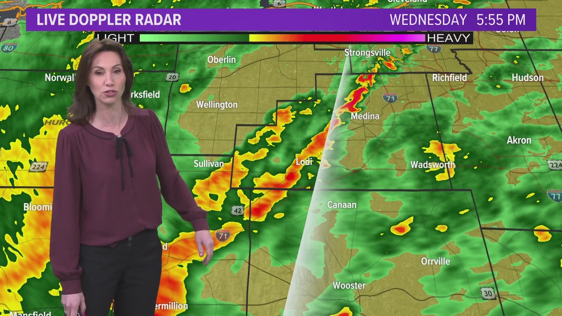
3News' Hollie Strano says that the storms are going to arrive in waves throughout Wednesday.
"We see that first line of showers and storms moving through between say 2 and 5 o’clock," Strano explains. "Then we get another round. It’s the next round that is the cold front. There it comes at 8 / 9 o’clock tonight. That is when we’ll have the potential for most of the severe weather -- not that we won’t have it earlier than that -- but we’ve got two waves coming in, and it’s the second one with the cold front that has me most concerned.”
What weather threats can you expect? The highest impact will be strong winds across the region, which could cause some damage or power outages. There's also a low to moderate risk for tornadoes.
More resources:
- LIST: iAlert school closings and delays
- INTERACTIVE RADAR: Track the storm
- YOUR AREA: Current weather alerts
- UPDATES: Download the free 3News app (Apple / Android) to follow the latest weather updates.