

CLEVELAND — Severe weather made its way through Northeast Ohio on Thursday evening.
At 7:42 p.m., the National Weather Service issued the first of several tornado warnings involving Northeast Ohio counties. The impacted areas included Huron, Richland, Ashland, Wayne, and Medina counties. A flash flood warning was also in effect around Ashland, Huron, and Richland, with other areas saw heavy thunderstorms.
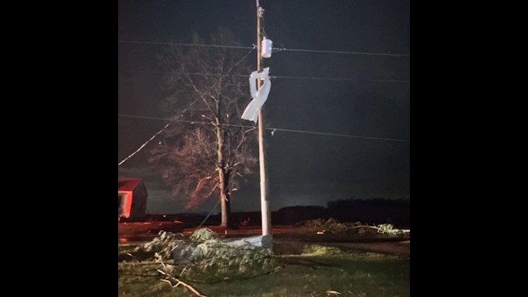
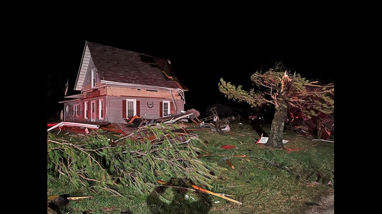
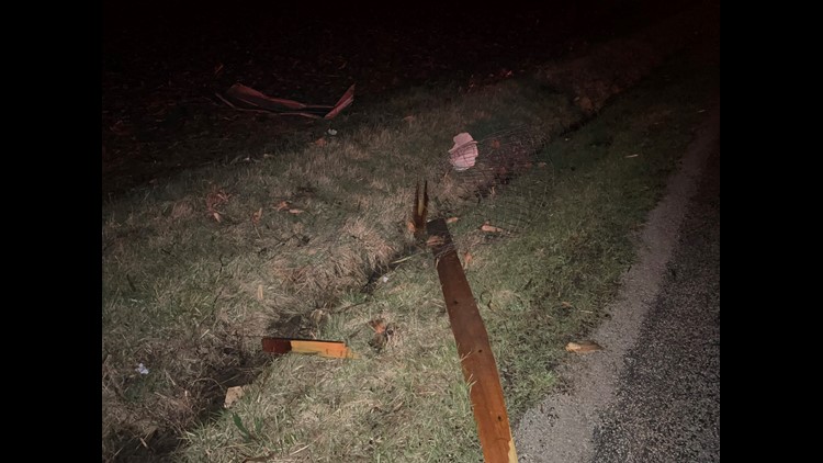
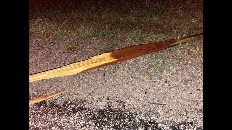
In the region where the warnings were issued, some communities experienced anywhere between 2-4 inches of rain. While all of the alerts were gone by 12:30 a.m. Friday, the storms left a trail of damage in their wake, such as Plymouth in Huron and Richland counties as well as Indian Lake further to the west.
PHOTOS: Severe storm damage following tornado warnings in Ohio


Watch Betsy Kling's reports on the tornado warnings below:
The severe weather threat has since ended in our area.
According to the 3News Weather Team, we turn cooler tonight with lingering showers. That's how we'll spend much of our Friday with leftover showers and clouds giving way to some clearing late in the day. Highs will be cooler with temps struggling to get out of the 40s.
As we fast forward to St. Patrick's Day weekend -- Saturday looks great. St. Patrick's Day Sunday...not so great, but not terrible.
More from 3News:
- Erie County father accused of using cattle prod to discipline children
- Frontier Airlines opens new crew base at Cleveland Hopkins International Airport
- Streetsboro police: 1 driver killed, 1 'significantly injured' in head-on crash
- 'The theme here is to give': North Canton church raises money to help eliminate $1 million of medical debt
- Death penalty upheld for Parma Heights man who stabbed roommates to death in 2017