
CLEVELAND — With the state of Ohio facing the threat of severe weather today, Gov. Mike DeWine is asking everybody to be prepared.
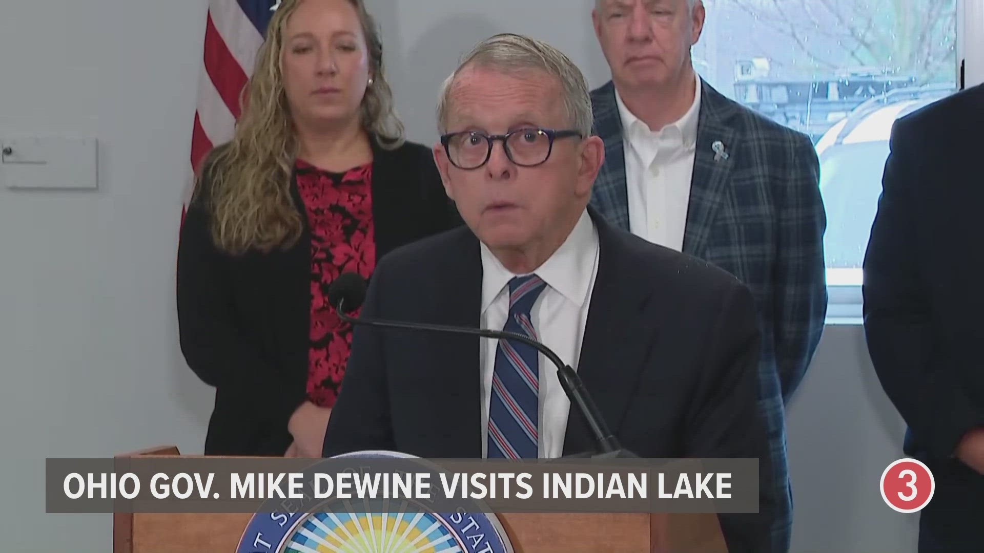
“Ohio really has a bullseye directly on us,” Gov. DeWine said during a press conference Tuesday morning from Indian Lake while giving an update after last month's deadly storms.
During his comments, Gov. DeWine also noted that the Storm Prediction Center has placed a large portion of Ohio at a four out of five when it comes to the risk for severe weather.
“I think figuring out where you’re going to go for this period of time is important," Gov. DeWine said. "This is not a usual day. This is a very unusual day. This is a dangerous day for Ohioans whether they live in Indian Lake or wherever they live. It’s just a lot of different things are going on. We’re at a level four. We’re hardly ever at a level four. Most of the state is at a level four.”
Looking at the images below, you'll see the threat intensity has shifted slightly south since Monday's initial report, but Northeast Ohio still has the potential to experience strong storms with concerns for flooding, damaging winds, hail and tornadoes.
Here's the updated threat level in Northeast Ohio from Tuesday morning:
Here's the original threat level as posted Monday afternoon:
3News' Senior Meteorologist Matt Wintz provided the following context behind the threat levels Tuesday morning:
“The Storm Prediction Center puts out these numbers," Wintz explains of the threat level guidance. "I hate lines because it’s like bad here and not here. Not the case. This can change. What I want you to take away from this is the trend. There’s a severe threat this afternoon -- and it’s on the higher end of things because things are going to come together dynamically in terms of the atmosphere to be able to produce some pretty decent thunderstorms today.”
If your area does experience any strong storms that would require you to seek shelter, Gov. DeWine is urging you to plan ahead for that possibility before the weather moves in.
“There’s just a lot of bad things that could happen," Gov. DeWine said. "We hope that they don’t happen, but I think people have to really be prepared. My message would be I would make sure I knew where I was going for shelter. I think you have to plan that out. Not everybody has a basement. If you have a basement, you know where you’re going.”
You can watch Gov. DeWine's full press conference from Tuesday morning in the video below:
What's the latest with the forecast? 3News' Hollie Strano shared the following update at 11 a.m.