
CLEVELAND — Round one of our dose of severe weather in Northeast Ohio is complete. But we're not quite done yet.
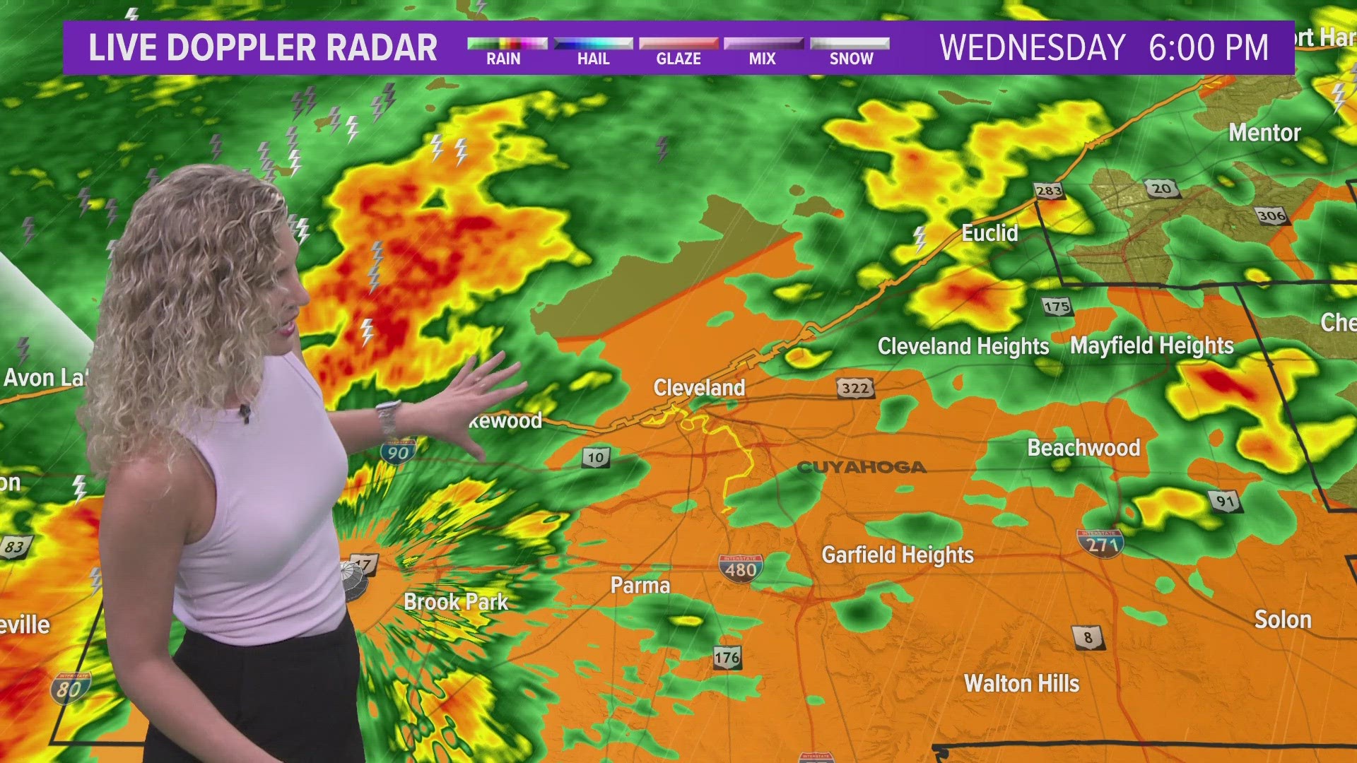
Earlier on Wednesday, a Tornado Warning was issued for Erie and Ottawa counties, with the focus of the storm being centered on Put-in-Bay and Catawba Island. Most of Northeast Ohio was subsequently under a severe thunderstorm warning into the early evening hours. Wind gusts have caused thousands of power outages in the area.
3News Senior Meteorologist Matt Wintz has the latest look at the storm chances for later tonight.
According to the 3News Weather Team, strong to severe storms are possible even through the overnight. While all modes of severe weather are possible, our primary threats will be damaging wind gusts and heavy downpours leading to a flash flooding risk.
By tomorrow, we knock our temperatures back a little due to the rain and storms that'll move through this evening. Highs will be back in the 80s...isolated showers and thunderstorm are possible tomorrow afternoon/evening. Tomorrow's rain chances are not associated with this evening's system.
Friday could be the hottest day of 2023 *so far*. Highs look to be in the low-90s with heat index values near 100°.
Want to be among the first to know the most important local and national news? Download the free WKYC app and get updates right on your phone: Android, Apple.