CLEVELAND — The Winter Weather Advisories that were issued for most of Northeast Ohio have expired.
Now that this winter weather event has come to an end, we're now preparing for the coldest temperatures of the season to arrive Friday into Saturday.
---
HOW THE WINTER STORM PROGRESSED:
Winter Weather Advisory was in effect until 10 a.m. Thursday for the following counties:
- Ashland
- Ashtabula
- Cuyahoga
- Erie
- Geauga
- Huron
- Lake
- Lorain
- Medina
- Ottawa
- Portage
- Richland
- Sandusky
- Seneca
- Summit
- Trumbull
- Wayne
Areas closer to Lake Erie are expected to see the heaviest snowfall, while spots south will see less accumulation due to a rainy / freezing mix.
Below we have time-stamped updates of the ongoing snow as the winter storm evolves. NOTE: The most-recent information is posted highest. Be sure to refresh this page frequently to see the latest updates.
Do you have any good snow photos? Text them to 216-344-3300 and we might use them on TV.
iALERT: See current closings and delays
LIVE RADAR: Track the wintry weather
WEATHER CONDITIONS: Current weather alerts
7:53 a.m. - ODOT is still working to clear the streets with 70 trucks throughout District 12:
---
6:46 a.m. - There are now 76 school closings / delays. See the full list HERE.
---
6:06 a.m. - There are now 63 school closings / delays. See the full list HERE.
---
6 a.m. - Here's a look at the weather / traffic conditions with our team coverage:
---
5:54 a.m. There are now 49 school closings / delays. See the full list HERE.
---
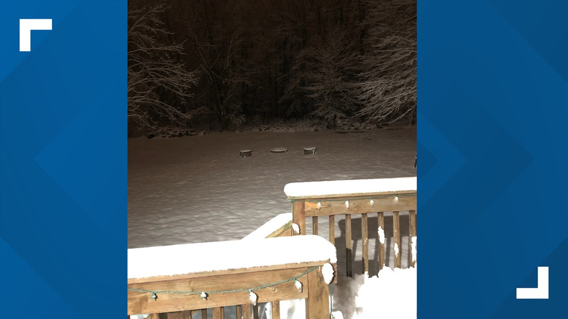
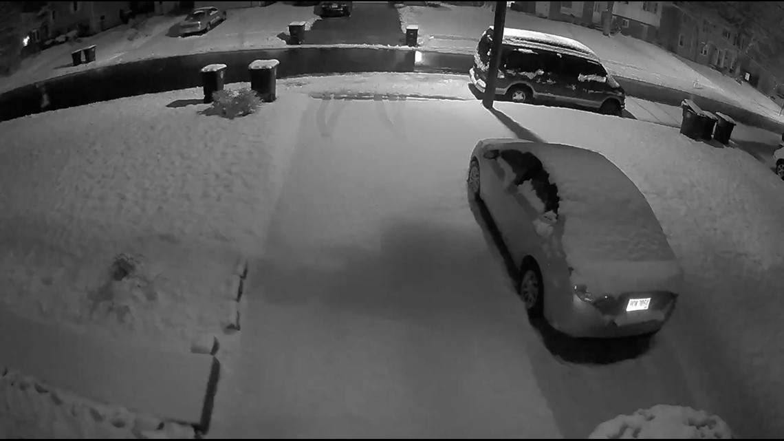
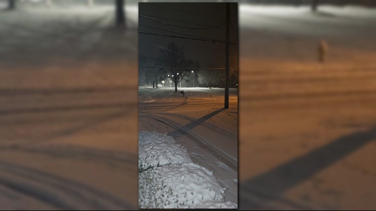
5:49 a.m. - Robin, a 3News viewer, sent us this picture from Monroeville:

---
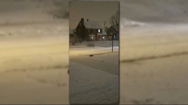
5:46 a.m. - Henry, a 3News viewer, sent us this snow picture from Willoughby Hills:

---
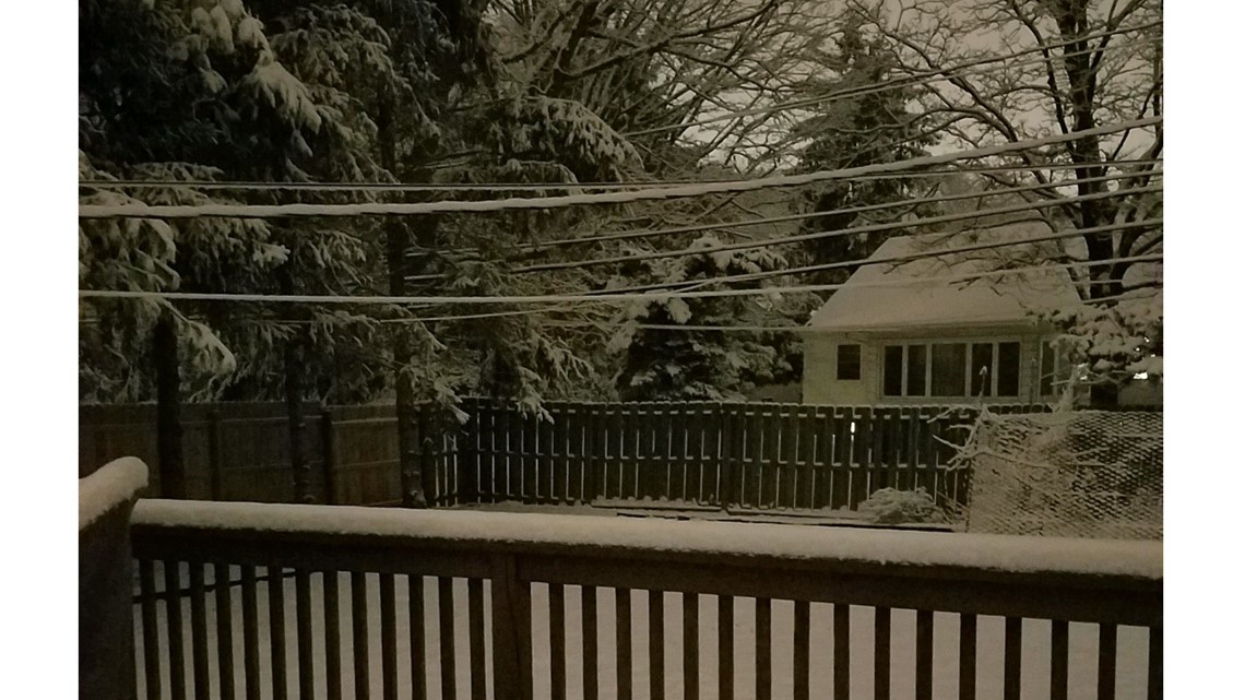
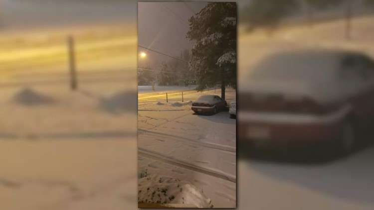
5:44 a.m. - A viewer sent us this snowy photo from Parma:

---
5:34 a.m. - Here's the latest look at road conditions with 3News' Austin Love and Jasmine Monroe:
---
5:30 a.m. - There are now 20 total school closings / delays. See the list HERE.
---
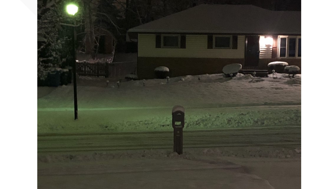
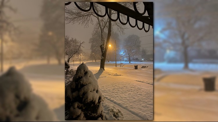
5:17 a.m. - Angelique -- a viewer from Euclid -- sent us this snowy photo:

---
5:15 a.m. - There are now 14 school closings / delays. See the full list HERE.
---
5:09 a.m. - A viewer sent us this picture from Akron:

---
5:07 a.m. - 3News meteorologist Hollie Strano said snow has "lightened up," which is why she's not anticipating too many additional school closings.
---
5 a.m. - How are the roads looking right now? Here's our team coverage:
---
4:56 a.m. - 3News' Austin Love shares a peek at the road conditions:
---
4:30 a.m. - ODOT says they have 826 crews working throughout the state.
---
4:24 a.m. - We're in a bit of a lull right now, but more snow is coming... Take a look at the picture below, and you can see the next dose of snow heading our way:

---
4:17 a.m. - At this point, there are only nine school closings / delays -- a few of which are due to illness. See the full iAlert list HERE.
---
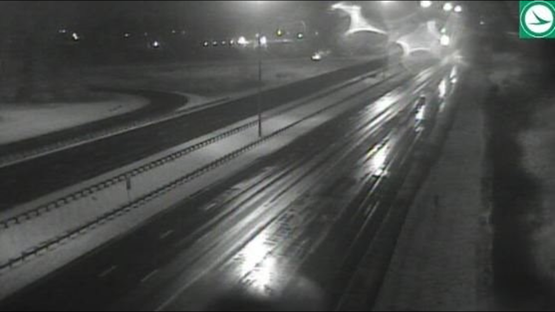
4:14 a.m. - Conditions are looking OK on the roadways. Here's a peek at I-77 near I-80 in Summit County:

---
UPDATES FROM WEDNESDAY, FEB. 12, 2020:
11:30 p.m. - Here's the latest look at our weather conditions from Chief Meteorologist Betsy Kling.
Also, the Hinckley Police Department reports that the stretch of Route 303 betwen River & State is now open. It was closed this evening due to 'impassable conditions.'
Meanwhile, ODOT offered this view from the roads:
---
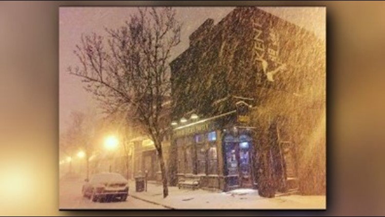
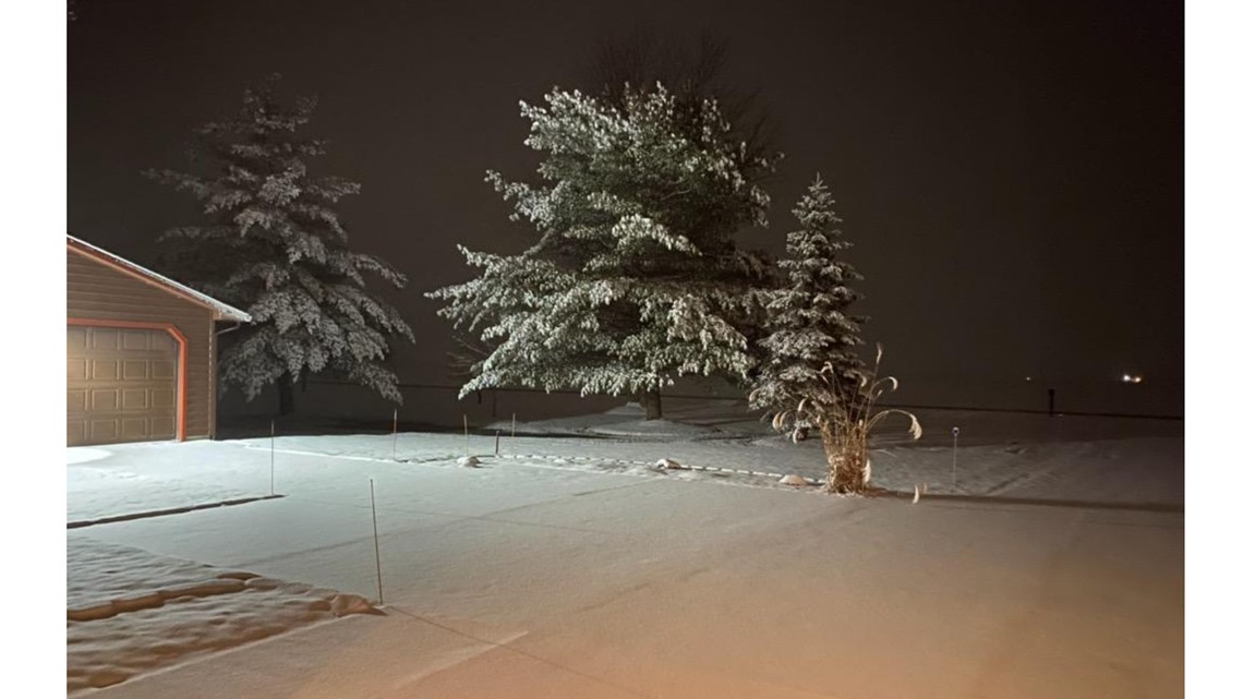
10:30 p.m. - Some of you have submitted your winter weather photos by texting them to 216-344-3300. Here's a sample of what we've gotten so far.
Photos: Snowy mix moves across Northeast Ohio


---
10 p.m. - Here's a look at the latest conditions in Stark County from ODOT.
---
9:45 p.m. - The Chief is here!
3News Chief Meteorologist Betsy Kling brings us a special winter weather update on WKYC.com, Facebook Live, YouTube, and the 3News app.
9:25 p.m. - Summit County has joined the list of counties under a LEVEL 1 SNOW ADVISORY. This means roadways are hazardous with blowing and drifint snow. Roads are also icy. Drive very cautiously.
Summit County joins Ashland, Erie, Huron, and Wayne counties that are in a LEVEL 1 mode.
Also the city of Parma will begin a snow parking ban at 10:30 p.m. this evening. Lorain, Niles, and North Ridgeville are some of the other communities that have issued emergency snow bans. Check out the list here.
---
9:10 p.m. - Here's the latest from Hinckley:
Check out a look at the radar from Meteorologist Matt Wintz on Twitter.
Also, if you have pictures of the snow and wintry conditions, share them with us on our social media pages using the hashtag #3Weather.
---
9 p.m. - As the storm makes its way north, Ashland, Erie, Huron, and Wayne counties are all under a LEVEL 1 SNOW ADVISORY. Roadways are hazardous with blowing and drifting snow. Roads may also be icy. Motorists are urged to drive very cautiously.
Also, the city of Cleveland says it is prepared for wintry weather conditions. THe city says it plans to have 44 plows clearing roads overnight Wednesday. In addition, the Division of Streets has 12 tons of salt and 20,000 gallons of liquid deicer.
---
8:45 p.m. - The Hinckley Police Department is cautioning motorists to stay off the roadways. "Conditions are terrible and the plows/salt are unable to keep up with the rate of snowfall," the department wrote on Facebook.
---
8:10 p.m. - ODOT put out this photo of conditions in Richland County:
Also on Twitter, 3News meteorologist Jason Frazer had this look at the conditions in downtown Cleveland:
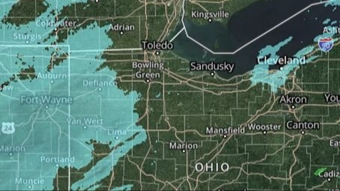
But what about school closings? Chief Meteorologist Betsy Kling put out her iAlert map with charting possible areas that could see delays or closings on Thursday.

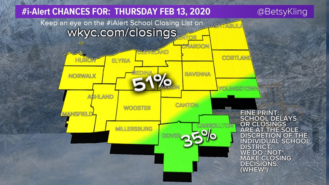
While there is a chance for some school closings Thursday, it's important to remember that we don't make those decisions. School closings are ultimately decided by superintendents and other school leaders.
If there are any school closings, you can see the full list HERE.

The city of Lorain has issued a snow parking ban that will go into effect at midnight on Thursday morning.
“This is going to have an impact on your Wednesday night plans,” 3News meteorologist Hollie Strano said. “Be that meetings after work or dinner plans or the kids have a game tonight, whatever the case may be, already be thinking ahead to allowing extra time tonight."
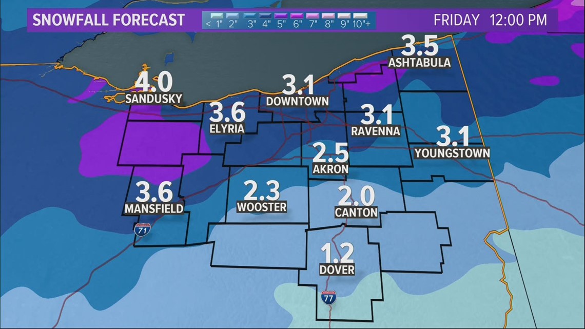
Strano said this storm could drop 3-5 inches of snow, but that will vary depending on how much rain mixes in.
“Tonight is going to be the brunt of it as far as the steadier precipitation.”
RELATED: Extended forecast