
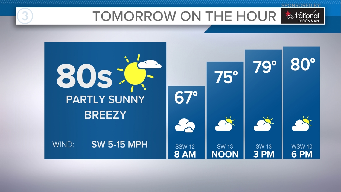
CLEVELAND — Temperatures will continue to fly high even after sunset tonight. The southerly winds will continue to pump milder air towards Northeast Ohio. Morning lows could be the warmest all season waking up Sunday. Mid 60s will be likely, through the afternoon highs will approach the low 80s again.

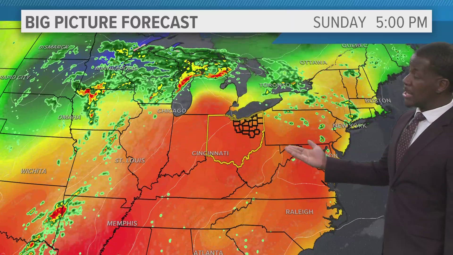
The additional warmth and moisture in the atmosphere could produce a stray shower or two through Sunday morning. Overall, conditions will remain quiet with a few clouds. Monday will be much of the same. We will be on the watch for scattered showers to move in Monday evening, courtesy to an inbound front. We dry out Tuesday with a brief cooldown.
3 DAY FORECAST
TONIGHT: Partly cloudy. Mild. Mid 60s.
SUNDAY: Partly sunny, breezy. Low 80s.
MONDAY: Sunny skies. Rain and thunderstorm chances after sunset. Low 80s.
TUESDAY: Showers early, partly sunny. Low 70s.
Here are some quick weather resources you can use:
---------------------------------------------------------------------------------------------------
Get more weather from the 3News Weather team of Betsy Kling (@betsykling), Matt Wintz (@WintzWeather), Anthony Copeland (@WeatherManAC) and Hollie Strano (@holliesmiles)
►MORE WEATHER | Get the latest weather headlines, video, photos & more
►ENVIRONMENT NEWS | Find out more about the world around us
►EARTH & SPACE NEWS | Learn more about our planet and outer space
►WEATHER FEATURES | Read our weather guides, storm reports & more
MORE WEATHER-RELATED HEADLINES: