
CLEVELAND — Rounds of damp weather will be a nuisance going into your weekend. The next rainmaker will also bring a surge of warmer temperatures and higher humidity.
Most of us will wake up under the clouds Friday morning. A warm front will be lifting through boosting our temperatures to the upper 70s. The introduction of moisture in the atmosphere could produce a scattered shower or two around daybreak. Your morning rush hour commute is looking dry for most.
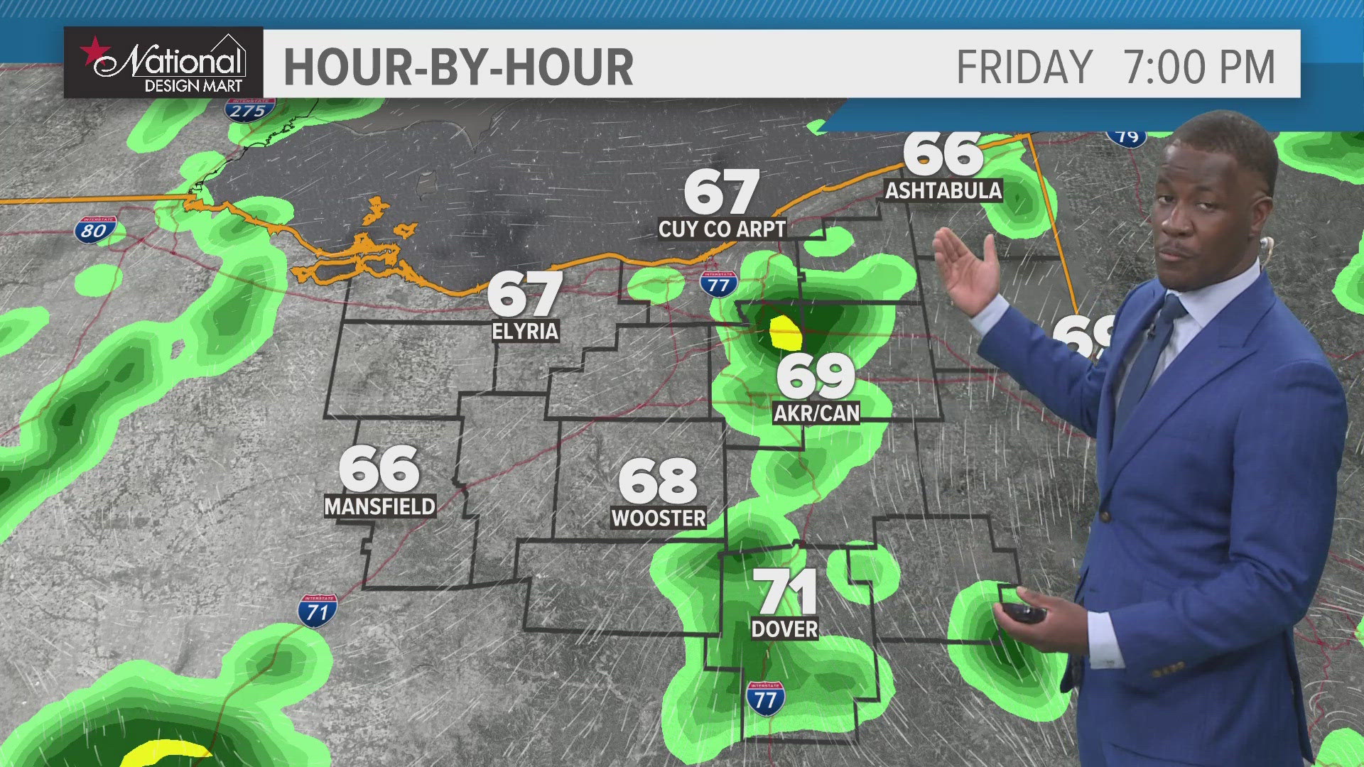
It will a different story come your evening drive. Scattered showers and thunder will be likely. This first round of showers will linger into the evening.
We'll remain unsettled through the weekend with lingering rain chances Saturday and a renewed shower and storm chance Sunday as a new wave of low pressure approaches. Our pattern will remain very summer-like with daily rain and storm chances and dry hours in between. Humidity will remain around, too, with highs in the 70s through the middle of next week.
THE 3 DAY FORECAST
TONIGHT: Clouds increase. Mid 60s
FRIDAY: Increasing clouds with rain and storms developing. Low 80s.
SATURDAY: Lingering rain chances, otherwise variable clouds. Low 70s.
SUNDAY: Scattered showers. Mid 70s
Here are some quick weather resources you can use:
---------------------------------------------------------------------------------------------------
Get more weather from the 3News Weather team of Betsy Kling (@betsykling), Matt Wintz (@WintzWeather), Anthony Copeland (@WeatherManAC) and Hollie Strano (@holliesmiles)
►MORE WEATHER | Get the latest weather headlines, video, photos & more
►ENVIRONMENT NEWS | Find out more about the world around us
►EARTH & SPACE NEWS | Learn more about our planet and outer space
►WEATHER FEATURES | Read our weather guides, storm reports & more
MORE WEATHER-RELATED HEADLINES: