Ugh. Winter isn’t done with us yet.
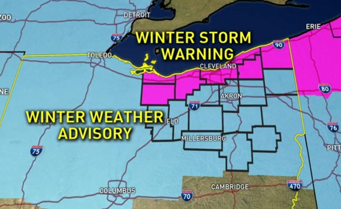
Much of our WKYC Channel 3 viewing area is under a Winter Storm Warning or a Winter Weather Advisory.
6:05 A.M. Tuesday -- ODOT District 12 tweets they are seeing slow spots throughout portions of Northeast Ohio.
#OHGO is showing some slow spots this morning across NEO as of 6 am. Be sure to check the app before you hit the roads! pic.twitter.com/vj0yg6Mpkv
— ODOT Cleveland (@ODOT_Cleveland) March 14, 2017
5:50 A.M. Tuesday -- CEO Eric Gordon announces Cleveland Metropolitan Schools are closed.
CMSD is closing today because of current and predicted winter weather conditions.
— Eric S. Gordon, CEO (@EricGordon_CEO) March 14, 2017
5:31 A.M. Tuesday -- ODOT District 4, tweets they have 115 plows on the streets and suggest "extra time to get to work."
Over 115 plows remain on the roads this morning in District 4. Give yourself some extra time to get to work.
— ODOT Akron (@ODOT_Akron) March 14, 2017
5:30 A.M. Tuesday -- Akron Public Schools join the list of school closings.
WEATHER ALERT: All schools closed today, March 14th, due to weather. Stay tuned for further updates. pic.twitter.com/ZCaqmzw4wX
— Akron Public Schools (@akronschools) March 14, 2017
CANCELED: All After School activities are canceled today, March 14th. Please stay tuned for further updates. pic.twitter.com/sdUNAhYHoz
— Akron Public Schools (@akronschools) March 14, 2017
5:20 A.M. Tuesday -- ODOT District 12 tweets they have been "busy overnight doing their best."
ODOT crews have been busy overnight doing their best to keeping roads safe for the AM commute. This driver is filling up & heading back out! pic.twitter.com/D6CdV7T2pe
— ODOT Cleveland (@ODOT_Cleveland) March 14, 2017
5 A.M. Tuesday -- School closings come in fast.
2:38 A.M. Tuesday -- Semi crash closes I-71 North between I-76 and Route 18 in Medina County.
11:30 P.M. Monday--WKYC Channel 3's Chris Tye reports from the roadways of Lake County:
11:25pm Progress Report: 1.5 of 3 lanes on Route 2 WB in Mentor are "passable". @wkyc pic.twitter.com/rf0UOBXCuJ
— Chris Tye (@TVTye) March 14, 2017
11:00 P.M. Monday--a check of our iAlert Instant School Closing System shows that virtually every school in Lorain County has already closed for Tuesday. Ashtabula City Schools have closed Tuesday as well. Also, Cleveland State University will be on a three hour delay until 11 a.m. on Tuesday.
9:46 P.M. Monday--Meteorologist Michael Estime stepped outside our studios and yes, it is snowing!
Here's what it looks like in #downtown #Cleveland, what does it look like outside your door? #Snow pic.twitter.com/9U3Fh4QGkm
— Michael Estime (@MichaelEstimeWX) March 14, 2017
9:30 P.M. Monday--Latest update from WKYC Channel 3 Meteorologist Michael Estime on Facebook Live
Some areas could see more than a foot of snow by the time Mother Nature’s wintry mess winds down, which means school closings are likely. Be sure to check our list of school closings frequently as it's updated the moment additional districts decide to close.
8:22 P.M. Monday--WKYC Channel 3's Chris Tye checked in again with ODOT as the snow begins to fall in Northeast Ohio:
Roads are salty, but Plow drivers aren't! Overtime night for ODOT workers. Live in Lake County @wkyc at 11! pic.twitter.com/uuCQU8y2oo
— Chris Tye (@TVTye) March 14, 2017
6:00 P.M. Monday--It's the calm before the storm as WKYC Channel 3's Monica Robins and Andrew Horansky hit the streets of Northeast Ohio.
Monica gives you some tips to remember as you make your way out in the rugged weather:

Drew is riding on the West Shoreway with an update on how plow crews are preparing for a busy couple of days.

5:30 P.M. Monday--Officials in Mentor have closed Vrooman Road from 8 p.m. tonight through Wednesday afternoon between Seeley Road and SR 84 (South Ridge Road.).
ODOT crews spent Monday morning pre-treating the roadways in anticipation of the wintry weather event.
Also, the city of Cleveland has revealed their plans on battling the wintry weather. The city has 60 total trucks and more than 29,000 tons of salt to combat the winter blast.
Two trucks were dispatched prior to snowfall early Monday to pre-treat hills and bridges. Second shift, which kicks into gear at 3 p.m. Monday, will feature 24 trucks.
44 trucks will be deployed by 11 p.m. to help clear Cleveland’s city streets throughout the evening.
Here’s how things are shaping up…
WINTER STORM WARNING
A Winter Storm Warning is in effect from 5 p.m. Monday through 8 p.m. Wednesday in the following counties:
- Cuyahoga
- Lorain
- Lake
- Geauga
- Ashtabula
- Huron
- Erie
Accumulations: 8-12 inches, with locally higher amounts where lake effect snow bands persist.
Timing: Snow begins Monday afternoon, increasing in intensity into Tuesday morning. Lake effect snow will develop Tuesday night into Wednesday.
Winds: 10-20 mph with gusts up to 35 mph.
More weather links:
- School closings and delays
- Download the free WKYC weather app
- Snow parking bans in effect
- Current weather alerts
- Extended forecast
- What you need to do before driving in snow
- Flight tracker
- Channel 3 winter weather guide
- Traffic updates
- Radars
WINTER WEATHER ADVISORY
A Winter Weather Advisory is in effect from 5 p.m. Monday through 8 p.m. Wednesday in the following counties:
- Summit
- Stark
- Portage
- Medina
- Richland
- Ashland
- Wayne
- Tuscarawas
- Carroll
- Columbiana
- Coshocton
- Mahoning
Accumulations: 4-7 inches of snow.
Timing: Snow will begin late Monday afternoon and increase in intensity overnight before tapering to scattered snow showers Tuesday night. Some lake effect snow bands could impact portions of the region Tuesday night into Wednesday.
Winds: 10-20 mph with gusts up to 30 mph.
This storm comes as low pressure tracks its way through the Ohio Valley with widespread snow developing west to east across the area.
“Lake Erie will enhance snowfall totals downwind of the lake where the highest accumulations are expected,” according to the National Weather Service.
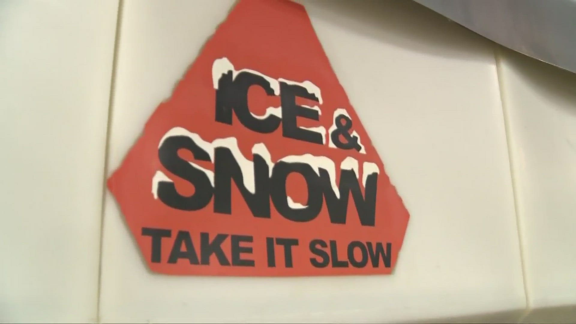
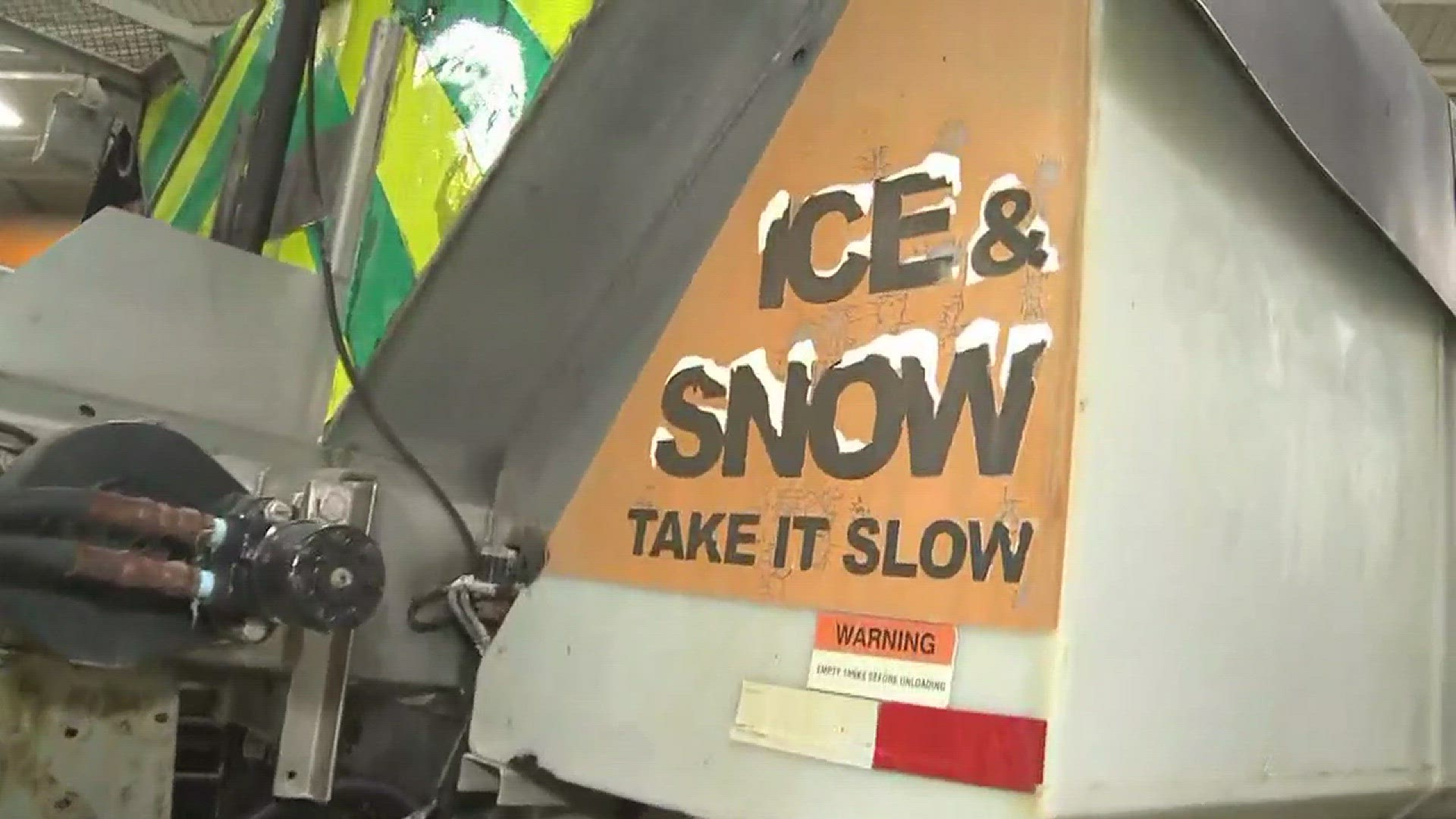
Forecasters warn that driving conditions will be difficult at times, with reduced visibility and snow-covered roads.
This same winter storm has also triggered Blizzard Warnings along portions of the nation's eastern seaboard.
For those of you keeping track, spring begins at 6:28 a.m. on Monday, March 20.
We're ready for spring... Are you? #3Weather @holliesmiles pic.twitter.com/nlXE1XehAR
— WKYC Channel 3 News (@wkyc) March 13, 2017
%